Altraga geodata
Altraga (Hövsgöl) is a seat of a second-order administrative division; located in Mongolia in Asia/Ulaanbaatar (GMT+8) time zone. In our database, there are 33 cities with bigger population. Compared to other cities in Mongolia, 96.3% of cities are located further ↓South; 70.6% of cities are located further →East and 70.6% of cities have lower elevation than Altraga. Note1


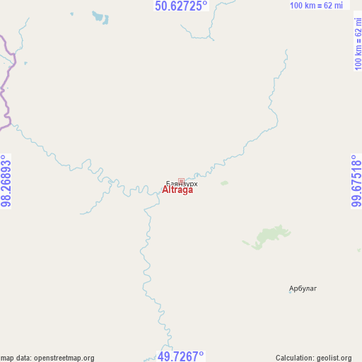
Altraga GPS coordinates[2]
50° 10' 44.76" North, 98° 58' 19.38" East
| Map corner | latitude | longitude |
|---|---|---|
| Upper-left | 50.62725°, | 98.26893° |
| Center: | 50.1791°, | 98.97205° |
| Lower-right: | 49.7267°, | 99.67518° |
| Map W x H: | 100.1×100.1 km | = 62.2×62.2mi |
| max Lat: | 51.50725° ⇑3.7% North |
| Altraga: | 50.1791° |
| min Lat: | ⇓96.3% South 42.84199° |
| min Long | Altraga | max Long |
| 89.14358° | 98.97205° | 118.51014° |
| W 29.4%⇐ | ⇒70.6% E |
Elevation
Elevation of Altraga is 1617 m = 5305 ft, and this is 200.5 m = 658 ft above average elevation for this country.
| Max E: |
2800 m = 9186 ft | 29.4% |
| Altraga | 1617 m 5305 ft | |
| Avg. | 1416.5 m = 4647 ft | |
Min E: |
619 m = 2031 ft | 70.6% |
See also: Mongolia elevation on elevation.city.
Geographical zone
Altraga is located in North temperate zone (between Tropic of Cancer and the Arctic Circle). Distance of this North polar circle is 1821.8 km =1132 mi to North.| Distance of | km | miles | from Altraga |
|---|---|---|---|
| North Pole | 4427.7 | 2751.2 | to North |
| Arctic Circle | 1821.8 | 1132 | to North |
| Tropic Cancer | 2973.5 | 1847.6 | to South |
| Equator | 5579.4 | 3466.9 | to South |


Nearby cities:
15 places around Altraga: (largest is in red/bold)
• Bayan
94.4 km =58.7 mi,  151°
151°
• Bayan-Uhaa
162.9 km =101.2 mi,  184°
184°
• Bulag
123.4 km =76.7 mi,  106°
106°
• Dzöölön
114.4 km =71.1 mi,  25°
25°
• Erdenet
142.7 km =88.7 mi,  163°
163°
• Halban
114.1 km =70.9 mi,  230°
230°
• Jargalant
134.8 km =83.8 mi,  136°
136°
• Mandal
45.3 km =28.1 mi,  133°
133°
• Manhan
76.6 km =47.6 mi,  94°
94°
• Murun-kuren
104.6 km =65 mi, 125°
• Sharga
43.9 km =27.3 mi,  196°
196°
• Tsagaannuur
133.5 km =83 mi,  11°
11°
• Tsengel
158.1 km =98.2 mi,  119°
119°
• Undur Sume
142.6 km =88.6 mi,  76°
76°
• Vlaa Vula
59 km =36.7 mi,  18°
18°
Sources, notices
• [Note1] Compared only with cities in Mongolia existing in our database
• [Src1] Map data: © OpenStreetMap contributors (CC-BY-SA)
• [Src2] Other city data from geonames.org with taken over terms of usage.
• [Src3] Geographical zone / Annual Mean Temperature by Robert A. Rohde @ Wikipedia
