Lajere geodata
Lajere (Yobe) is a populated place; located in Nigeria in Africa/Lagos (GMT+1) time zone. With population of 7,356 people, there are 404 cities with bigger population in this country. Compared to other cities in Nigeria, 84.1% of cities are located further ↓South; 91.9% of cities are located further ←West and 64.5% of cities have lower elevation than Lajere. Note1


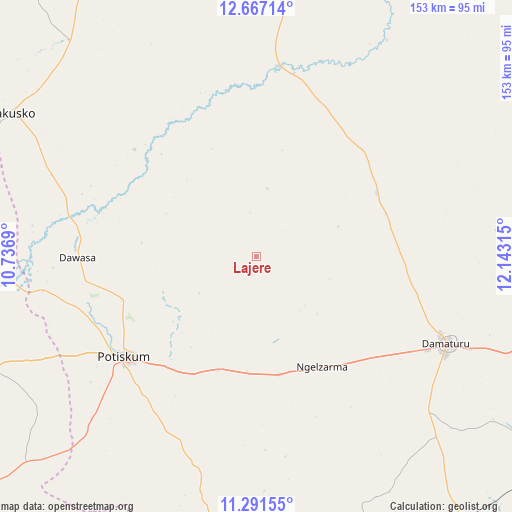
Lajere GPS coordinates[2]
11° 58' 48.792" North, 11° 26' 24.072" East
| Map corner | latitude | longitude |
|---|---|---|
| Upper-left | 12.66714°, | 10.7369° |
| Center: | 11.98022°, | 11.44002° |
| Lower-right: | 11.29155°, | 12.14315° |
| Map W x H: | 153×153 km | = 95.1×95.1mi |
| max Lat: | 13.7543° ⇑15.9% North |
| Lajere: | 11.98022° |
| min Lat: | ⇓84.1% South 4.31231° |
| min Long | Lajere | max Long |
| 2.73333° | 11.44002° | 14.46552° |
| W 91.9%⇐ | ⇒8.1% E |
Elevation
Elevation of Lajere is 366 m = 1201 ft, and this is 69.5 m = 228 ft above average elevation for this country.
| Max E: |
1599 m = 5246 ft | 35.5% |
| Lajere | 366 m 1201 ft | |
| Avg. | 296.5 m = 973 ft | |
Min E: |
2 m = 7 ft | 64.5% |
See also: Nigeria elevation on elevation.city.
Geographical zone
Lajere is located in North Torrid zone (between Equator and Tropic of Cancer). Distance of this Northern Tropic circle is 1273.8 km =791.5 mi to North.| Distance of | km | miles | from Lajere |
|---|---|---|---|
| North Pole | 8675 | 5390.4 | to North |
| Arctic Circle | 6069.1 | 3771.2 | to North |
| Tropic Cancer | 1273.8 | 791.5 | to North |
| Equator | 1332.1 | 827.7 | to South |


Nearby cities:
15 places around Lajere: (largest is in red/bold)
• Babban Gida
40.9 km =25.4 mi,  61°
61°
• Damagum
35.5 km =22.1 mi,  198°
198°
• Damaturu
62.3 km =38.7 mi,  114°
114°
• Dambam
86.4 km =53.7 mi,  247°
247°
• Dankalwa
85.2 km =52.9 mi, 107°
• Dapchi
57.6 km =35.8 mi,  6°
6°
• Daura
47.5 km =29.5 mi,  184°
184°
• Fika
78.4 km =48.7 mi,  190°
190°
• Gujba
75.8 km =47.1 mi,  134°
134°
• Gwio Kura
87.2 km =54.2 mi,  332°
332°
• Jakusko
84.4 km =52.4 mi,  300°
300°
• Nafada
99 km =61.5 mi, 186°
• Potiskum
49 km =30.4 mi,  232°
232°
• Sabon Garin Nangere
42.5 km =26.4 mi, 249°
• Yanda Bayo
92.1 km =57.2 mi,  235°
235°
Sources, notices
• [Note1] Compared only with cities in Nigeria existing in our database
• [Src1] Map data: © OpenStreetMap contributors (CC-BY-SA)
• [Src2] Other city data from geonames.org with taken over terms of usage.
• [Src3] Geographical zone / Annual Mean Temperature by Robert A. Rohde @ Wikipedia
