Greytown geodata
Greytown (Río San Juan) is a seat of a second-order administrative division; located in Nicaragua in America/Managua (GMT-6) time zone. With population of 642 people, there are 132 cities with bigger population in this country. Compared to other cities in Nicaragua, 100% of cities are located further ↑North; 97% of cities are located further ←West and 100% of cities have higher elevation than Greytown. Note1


Greytown GPS coordinates[2]
10° 56' 48.624" North, 83° 44' 4.812" West
| Map corner | latitude | longitude |
|---|---|---|
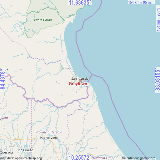
| Upper-left | 11.63635°, | -84.4378° |
| Center: | 10.94684°, | -83.73467° |
| Lower-right: | 10.25572°, | -83.03155° |
| Map W x H: | 153.5×153.5 km | = 95.4×95.4mi |
| max Lat: | 14.74189° ⇑100% North |
| Greytown: | 10.94684° |
| min Lat: | ⇓0% South 10.94684° |
| min Long | Greytown | max Long |
| -87.4516° | -83.73467° | -83.06145° |
| W 97%⇐ | ⇒3% E |
Elevation
Elevation of Greytown is 1 m = 3 ft, and this is 336.2 m = 1103 ft below average elevation for this country.
| Max E: |
1288 m = 4226 ft | 100% |
| Avg. | 337.2 m = 1106 ft | |
| Greytown | 1 m = 3 ft | |
Min E: |
1 m = 3 ft | 0% |
See also: Nicaragua elevation on elevation.city.
Geographical zone
Greytown is located in North Torrid zone (between Equator and Tropic of Cancer). Distance of Equator is 1217.2 km =756.3 mi to South.| Distance of | km | miles | from Greytown |
|---|---|---|---|
| North Pole | 8789.9 | 5461.8 | to North |
| Arctic Circle | 6184 | 3842.6 | to North |
| Tropic Cancer | 1388.7 | 862.9 | to North |
| Equator | 1217.2 | 756.3 | to South |


Nearby cities:
15 places around Greytown: (largest is in red/bold)
• Bluefields
118.7 km =73.8 mi,  358°
358°
• Boca de Sábalos
80.7 km =50.1 mi,  278°
278°
• Corn Island
155.1 km =96.4 mi,  28°
28°
• El Almendro
133.3 km =82.8 mi,  307°
307°
• El Castillo de La Concepción
72.9 km =45.3 mi, 276°
• El Coral
146.9 km =91.3 mi,  317°
317°
• El Rama
144.8 km =90 mi,  338°
338°
• Kukrahill
143.9 km =89.4 mi, 359°
• Laguna de Perlas
155.4 km =96.6 mi,  2°
2°
• Morrito
164.8 km =102.4 mi,  297°
297°
• Muelle de los Bueyes
152.3 km =94.6 mi,  325°
325°
• Nueva Guinea
113.9 km =70.8 mi, 316°
• San Carlos
115.5 km =71.8 mi, 279°
• San Miguelito
136.8 km =85 mi,  291°
291°
• Villa Sandino
183.9 km =114.3 mi, 311°
Sources, notices
• [Note1] Compared only with cities in Nicaragua existing in our database
• [Src1] Map data: © OpenStreetMap contributors (CC-BY-SA)
• [Src2] Other city data from geonames.org with taken over terms of usage.
• [Src3] Geographical zone / Annual Mean Temperature by Robert A. Rohde @ Wikipedia
