Alvdal geodata
Alvdal (Hedmark) is a seat of a second-order administrative division; located in Norway in Europe/Oslo (GMT+2) time zone. With population of 677 people, there are 388 cities with bigger population in this country. Compared to other cities in Norway, 64.7% of cities are located further ↓South; 61.1% of cities are located further ←West and 97.2% of cities have lower elevation than Alvdal. Note1


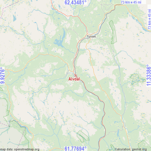
Alvdal GPS coordinates[2]
62° 6' 27.576" North, 10° 37' 50.628" East
| Map corner | latitude | longitude |
|---|---|---|
| Upper-left | 62.43481°, | 9.9276° |
| Center: | 62.10766°, | 10.63073° |
| Lower-right: | 61.77694°, | 11.33386° |
| Map W x H: | 73.1×73.1 km | = 45.4×45.4mi |
| max Lat: | 71.04137° ⇑35.3% North |
| Alvdal: | 62.10766° |
| min Lat: | ⇓64.7% South 58.0274° |
| min Long | Alvdal | max Long |
| 4.71485° | 10.63073° | 31.11066° |
| W 61.1%⇐ | ⇒38.9% E |
Elevation
Elevation of Alvdal is 500 m = 1640 ft, and this is 395.8 m = 1299 ft above average elevation for this country.
| Max E: |
897 m = 2943 ft | 2.8% |
| Alvdal | 500 m 1640 ft | |
| Avg. | 104.2 m = 342 ft | |
Min E: |
1 m = 3 ft | 97.2% |
See also: Norway elevation on elevation.city.
Geographical zone
Alvdal is located in North temperate zone (between Tropic of Cancer and the Arctic Circle). Distance of this North polar circle is 495.4 km =307.8 mi to North.| Distance of | km | miles | from Alvdal |
|---|---|---|---|
| North Pole | 3101.3 | 1927.1 | to North |
| Arctic Circle | 495.4 | 307.8 | to North |
| Tropic Cancer | 4299.8 | 2671.8 | to South |
| Equator | 6905.7 | 4291 | to South |


Nearby cities:
15 places around Alvdal: (largest is in red/bold)
• Bergset
33.5 km =20.8 mi,  135°
135°
• Dale
70 km =43.5 mi,  238°
238°
• Dovre
72.9 km =45.3 mi,  259°
259°
• Folldal
33.1 km =20.6 mi,  274°
274°
• Hundorp
71.3 km =44.3 mi,  210°
210°
• Koppang
63.4 km =39.4 mi,  159°
159°
• Kvam
69.7 km =43.3 mi,  225°
225°
• Oppdal
72.6 km =45.1 mi,  318°
318°
• Os
53 km =32.9 mi,  35°
35°
• Otta
68.4 km =42.5 mi, 236°
• Ringebu
69.3 km =43.1 mi,  201°
201°
• Røros
64.9 km =40.3 mi, 36°
• Svarstad
54.7 km =34 mi,  145°
145°
• Tolga
38.5 km =23.9 mi,  29°
29°
• Tynset
20.3 km =12.6 mi,  22°
22°
Sources, notices
• [Note1] Compared only with cities in Norway existing in our database
• [Src1] Map data: © OpenStreetMap contributors (CC-BY-SA)
• [Src2] Other city data from geonames.org with taken over terms of usage.
• [Src3] Geographical zone / Annual Mean Temperature by Robert A. Rohde @ Wikipedia
