Hundorp geodata
Hundorp (Oppland) is a seat of a second-order administrative division; located in Norway in Europe/Oslo (GMT+2) time zone. With population of 615 people, there are 410 cities with bigger population in this country. Compared to other cities in Norway, 60.6% of cities are located further ↓South; 52.2% of cities are located further →East and 89.4% of cities have lower elevation than Hundorp. Note1


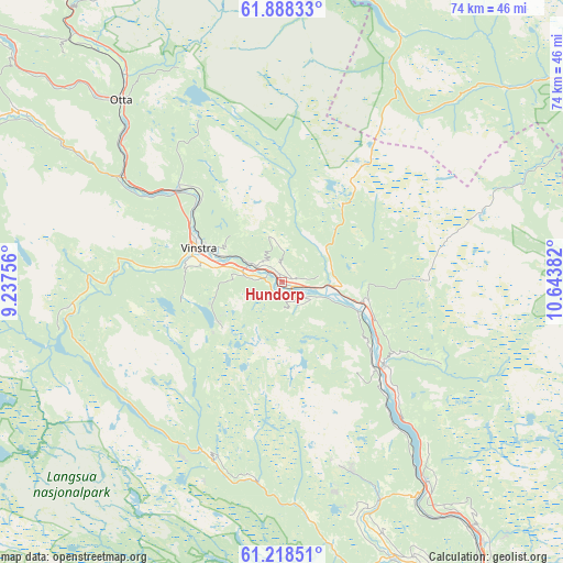
Hundorp GPS coordinates[2]
61° 33' 18.828" North, 9° 56' 26.484" East
| Map corner | latitude | longitude |
|---|---|---|
| Upper-left | 61.88833°, | 9.23756° |
| Center: | 61.55523°, | 9.94069° |
| Lower-right: | 61.21851°, | 10.64382° |
| Map W x H: | 74.5×74.5 km | = 46.3×46.3mi |
| max Lat: | 71.04137° ⇑39.4% North |
| Hundorp: | 61.55523° |
| min Lat: | ⇓60.6% South 58.0274° |
| min Long | Hundorp | max Long |
| 4.71485° | 9.94069° | 31.11066° |
| W 47.8%⇐ | ⇒52.2% E |
Elevation
Elevation of Hundorp is 270 m = 886 ft, and this is 165.8 m = 544 ft above average elevation for this country.
| Max E: |
897 m = 2943 ft | 10.6% |
| Hundorp | 270 m 886 ft | |
| Avg. | 104.2 m = 342 ft | |
Min E: |
1 m = 3 ft | 89.4% |
See also: Norway elevation on elevation.city.
Geographical zone
Hundorp is located in North temperate zone (between Tropic of Cancer and the Arctic Circle). Distance of this North polar circle is 556.9 km =346 mi to North.| Distance of | km | miles | from Hundorp |
|---|---|---|---|
| North Pole | 3162.8 | 1965.3 | to North |
| Arctic Circle | 556.9 | 346 | to North |
| Tropic Cancer | 4238.4 | 2633.6 | to South |
| Equator | 6844.3 | 4252.8 | to South |


Nearby cities:
15 places around Hundorp: (largest is in red/bold)
• Dale
34 km =21.1 mi,  316°
316°
• Dovre
60.1 km =37.3 mi, 323°
• Folldal
64.2 km =39.9 mi,  2°
2°
• Follebu
42 km =26.1 mi,  154°
154°
• Forset
40.7 km =25.3 mi,  164°
164°
• Koppang
58.6 km =36.4 mi,  88°
88°
• Kvam
18.1 km =11.2 mi,  312°
312°
• Lillehammer
56.4 km =35 mi, 150°
• Otta
32.2 km =20 mi, 318°
• Ringebu
10.9 km =6.8 mi,  105°
105°
• Segalstad
39 km =24.2 mi, 156°
• Segalstad bru
39.3 km =24.4 mi, 157°
• Tretten
32.9 km =20.4 mi,  144°
144°
• Vinstra
11 km =6.8 mi,  293°
293°
• Vågåmo
56.9 km =35.4 mi, 308°
Sources, notices
• [Note1] Compared only with cities in Norway existing in our database
• [Src1] Map data: © OpenStreetMap contributors (CC-BY-SA)
• [Src2] Other city data from geonames.org with taken over terms of usage.
• [Src3] Geographical zone / Annual Mean Temperature by Robert A. Rohde @ Wikipedia
