Dib Dibba geodata
Dib Dibba (Musandam) is a populated place; located in Oman in Asia/Muscat (GMT+4) time zone. With population of 5,000 people, there are 28 cities with bigger population in this country. Compared to other cities in Oman, 100% of cities are located further ↓South; 87.1% of cities are located further →East and 100% of cities have higher elevation than Dib Dibba. Note1


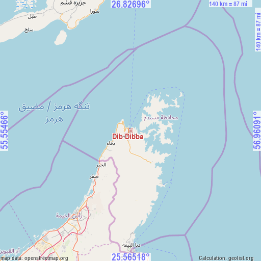
Dib Dibba GPS coordinates[2]
26° 11' 52.008" North, 56° 15' 28.008" East
| Map corner | latitude | longitude |
|---|---|---|
| Upper-left | 26.82696°, | 55.55466° |
| Center: | 26.19778°, | 56.25778° |
| Lower-right: | 25.56518°, | 56.96091° |
| Map W x H: | 140.3×140.3 km | = 87.2×87.2mi |
| max Lat: | 26.19778° ⇑0% North |
| Dib Dibba: | 26.19778° |
| min Lat: | ⇓100% South 17.01505° |
| min Long | Dib Dibba | max Long |
| 52.66042° | 56.25778° | 59.52889° |
| W 12.9%⇐ | ⇒87.1% E |
Elevation
Elevation of Dib Dibba is 1 m = 3 ft, and this is 205.7 m = 675 ft below average elevation for this country.
| Max E: |
684 m = 2244 ft | 100% |
| Avg. | 206.7 m = 678 ft | |
| Dib Dibba | 1 m = 3 ft | |
Min E: |
1 m = 3 ft | 0% |
See also: Oman elevation on elevation.city.
Geographical zone
Dib Dibba is located in North temperate zone (between Tropic of Cancer and the Arctic Circle). Distance of this Northern Tropic circle is 307 km =190.8 mi to South.| Distance of | km | miles | from Dib Dibba |
|---|---|---|---|
| North Pole | 7094.1 | 4408.1 | to North |
| Arctic Circle | 4488.3 | 2788.9 | to North |
| Tropic Cancer | 307 | 190.8 | to South |
| Equator | 2912.9 | 1810 | to South |


Nearby cities:
15 places around Dib Dibba: (largest is in red/bold)
• Al Buraymī
221.5 km =137.6 mi,  192°
192°
• Al Khābūrah
261.4 km =162.4 mi,  161°
161°
• As Suwayq
286.9 km =178.3 mi, 155°
• Barkā’
324.6 km =201.7 mi,  149°
149°
• Khasab
2.2 km =1.4 mi,  206°
206°
• Liwá
187.9 km =116.8 mi,  170°
170°
• Madḩā’ al Jadīdah
101.9 km =63.3 mi,  175°
175°
• Oman Smart Future City
313.6 km =194.9 mi, 154°
• Rustaq
333.6 km =207.3 mi, 159°
• Seeb
341.9 km =212.4 mi, 145°
• Shināş
163.2 km =101.4 mi, 172°
• Sohar
210.7 km =130.9 mi, 167°
• Yanqul
291.7 km =181.3 mi, 174°
• Şaḩam
234 km =145.4 mi, 164°
• ‘Ibrī
331.5 km =206 mi, 175°
Sources, notices
• [Note1] Compared only with cities in Oman existing in our database
• [Src1] Map data: © OpenStreetMap contributors (CC-BY-SA)
• [Src2] Other city data from geonames.org with taken over terms of usage.
• [Src3] Geographical zone / Annual Mean Temperature by Robert A. Rohde @ Wikipedia
