Brujas geodata
Brujas (Panamá) is a seat of a third-order administrative division; located in Panama in America/Panama (GMT-5) time zone. With population of 239 people, there are 583 cities with bigger population in this country. Compared to other cities in Panama, 63% of cities are located further ↓South; 93.5% of cities are located further ←West and 90.4% of cities have higher elevation than Brujas. Note1


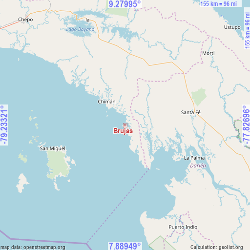
Brujas GPS coordinates[2]
8° 35' 7.296" North, 78° 31' 48.288" West
| Map corner | latitude | longitude |
|---|---|---|
| Upper-left | 9.27995°, | -79.23321° |
| Center: | 8.58536°, | -78.53008° |
| Lower-right: | 7.88949°, | -77.82696° |
| Map W x H: | 154.6×154.6 km | = 96.1×96.1mi |
| max Lat: | 9.60898° ⇑37% North |
| Brujas: | 8.58536° |
| min Lat: | ⇓63% South 7.26534° |
| min Long | Brujas | max Long |
| -82.91275° | -78.53008° | -77.38965° |
| W 93.5%⇐ | ⇒6.5% E |
Elevation
Elevation of Brujas is 12 m = 39 ft, and this is 160.1 m = 525 ft below average elevation for this country.
| Max E: |
2103 m = 6900 ft | 90.4% |
| Avg. | 172.1 m = 565 ft | |
| Brujas | 12 m = 39 ft | |
Min E: |
-1 m = -3 ft | 9.6% |
See also: Panama elevation on elevation.city.
Geographical zone
Brujas is located in North Torrid zone (between Equator and Tropic of Cancer). Distance of Equator is 954.6 km =593.2 mi to South.| Distance of | km | miles | from Brujas |
|---|---|---|---|
| North Pole | 9052.5 | 5625 | to North |
| Arctic Circle | 6446.6 | 4005.7 | to North |
| Tropic Cancer | 1651.3 | 1026.1 | to North |
| Equator | 954.6 | 593.2 | to South |


Nearby cities:
15 places around Brujas: (largest is in red/bold)
• Barriales
15.6 km =9.7 mi,  90°
90°
• Chimán
16.5 km =10.3 mi,  315°
315°
• Cucunatí
30.1 km =18.7 mi, 92°
• Gonzalo Vásquez
20.6 km =12.8 mi,  156°
156°
• Ipetí
42.7 km =26.5 mi,  3°
3°
• La Ensenada
42.4 km =26.3 mi,  234°
234°
• La Palma
47.3 km =29.4 mi,  114°
114°
• Platanilla
31.4 km =19.5 mi,  30°
30°
• Punta Alegre
44.3 km =27.5 mi,  136°
136°
• Quebrada Honda
46.2 km =28.7 mi,  83°
83°
• San Miguel
47 km =29.2 mi,  252°
252°
• Santa Fé
41.3 km =25.7 mi, 79°
• Tortí
39.8 km =24.7 mi,  20°
20°
• Unión Santeña
30.8 km =19.1 mi,  334°
334°
• Zapallal
44.6 km =27.7 mi, 80°
Sources, notices
• [Note1] Compared only with cities in Panama existing in our database
• [Src1] Map data: © OpenStreetMap contributors (CC-BY-SA)
• [Src2] Other city data from geonames.org with taken over terms of usage.
• [Src3] Geographical zone / Annual Mean Temperature by Robert A. Rohde @ Wikipedia
