Tortí geodata
Tortí (Panamá) is a seat of a third-order administrative division; located in Panama in America/Panama (GMT-5) time zone. With population of 1,611 people, there are 148 cities with bigger population in this country. Compared to other cities in Panama, 80.1% of cities are located further ↓South; 94% of cities are located further ←West and 71.8% of cities have lower elevation than Tortí. Note1


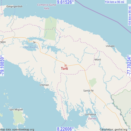
Tortí GPS coordinates[2]
8° 55' 16.752" North, 78° 24' 19.656" West
| Map corner | latitude | longitude |
|---|---|---|
| Upper-left | 9.61526°, | -79.10859° |
| Center: | 8.92132°, | -78.40546° |
| Lower-right: | 8.22606°, | -77.70234° |
| Map W x H: | 154.5×154.5 km | = 96×96mi |
| max Lat: | 9.60898° ⇑19.9% North |
| Tortí: | 8.92132° |
| min Lat: | ⇓80.1% South 7.26534° |
| min Long | Tortí | max Long |
| -82.91275° | -78.40546° | -77.38965° |
| W 94%⇐ | ⇒6% E |
Elevation
Elevation of Tortí is 171 m = 561 ft, and this is 1.1 m = 4 ft below average elevation for this country.
| Max E: |
2103 m = 6900 ft | 28.2% |
| Avg. | 172.1 m = 565 ft | |
| Tortí | 171 m = 561 ft | |
Min E: |
-1 m = -3 ft | 71.8% |
See also: Panama elevation on elevation.city.
Geographical zone
Tortí is located in North Torrid zone (between Equator and Tropic of Cancer). Distance of Equator is 992 km =616.4 mi to South.| Distance of | km | miles | from Tortí |
|---|---|---|---|
| North Pole | 9015.1 | 5601.7 | to North |
| Arctic Circle | 6409.2 | 3982.5 | to North |
| Tropic Cancer | 1614 | 1002.9 | to North |
| Equator | 992 | 616.4 | to South |


Nearby cities:
15 places around Tortí: (largest is in red/bold)
• Agua Fría Número Uno
23.9 km =14.9 mi,  107°
107°
• Barriales
37.6 km =23.4 mi,  177°
177°
• Brujas
39.8 km =24.7 mi,  200°
200°
• Cañazas
20 km =12.4 mi,  97°
97°
• Chimán
36 km =22.4 mi,  224°
224°
• Cucunatí
41.8 km =26 mi,  156°
156°
• Icantí
44.6 km =27.7 mi,  316°
316°
• Ipetí
12.1 km =7.5 mi,  295°
295°
• Platanilla
10.6 km =6.6 mi,  167°
167°
• Playón Chico
47.3 km =29.4 mi,  23°
23°
• Quebrada Honda
45.2 km =28.1 mi,  134°
134°
• Santa Fé
39.9 km =24.8 mi,  137°
137°
• Ualá
38.5 km =23.9 mi,  79°
79°
• Unión Santeña
28.6 km =17.8 mi,  250°
250°
• Zapallal
42.8 km =26.6 mi, 134°
Sources, notices
• [Note1] Compared only with cities in Panama existing in our database
• [Src1] Map data: © OpenStreetMap contributors (CC-BY-SA)
• [Src2] Other city data from geonames.org with taken over terms of usage.
• [Src3] Geographical zone / Annual Mean Temperature by Robert A. Rohde @ Wikipedia
