Orellana geodata
Orellana (Loreto) is a seat of a third-order administrative division; located in Peru in America/Lima (GMT-5) time zone. In our database, there are 305 cities with bigger population. Compared to other cities in Peru, 80.7% of cities are located further ↓South; 57.4% of cities are located further ←West and 86.4% of cities have higher elevation than Orellana. Note1


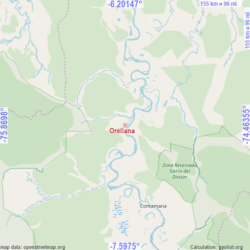
Orellana GPS coordinates[2]
6° 54' 0" South, 75° 10' 0.012" West
| Map corner | latitude | longitude |
|---|---|---|
| Upper-left | -6.20147°, | -75.8698° |
| Center: | -6.9°, | -75.16667° |
| Lower-right: | -7.5975°, | -74.46355° |
| Map W x H: | 155.2×155.2 km | = 96.4×96.4mi |
| max Lat: | -0.96667° ⇑19.3% North |
| Orellana: | -6.9° |
| min Lat: | ⇓80.7% South -18.01465° |
| min Long | Orellana | max Long |
| -81.30472° | -75.16667° | -69.04167° |
| W 57.4%⇐ | ⇒42.6% E |
Elevation
Elevation of Orellana is 154 m = 505 ft, and this is 2164.7 m = 7102 ft below average elevation for this country.
| Max E: |
5022 m = 16476 ft | 86.4% |
| Avg. | 2318.7 m = 7607 ft | |
| Orellana | 154 m = 505 ft | |
Min E: |
1 m = 3 ft | 13.6% |
See also: Peru elevation on elevation.city.
Geographical zone
Orellana is located in South Torrid zone (between Equator and Tropic of Capricorn). Distance of Equator is 767.2 km =476.7 mi to North.| Distance of | km | miles | from Orellana |
|---|---|---|---|
| Equator | 767.2 | 476.7 | to North |
| Tropic Capricorn | 1838.7 | 1142.5 | to South |
| Antarctic Circle | 6634 | 4122.2 | to South |
| South Pole | 9239.9 | 5741.4 | to South |


Nearby cities:
15 places around Orellana: (largest is in red/bold)
• Barranquita
117.4 km =72.9 mi,  306°
306°
• Chazuta
113.3 km =70.4 mi,  288°
288°
• Contamana
50.9 km =31.6 mi,  161°
161°
• Inahuaya
30.6 km =19 mi,  204°
204°
• Navarro
90.1 km =56 mi, 314°
• Pampa Hermosa
36.5 km =22.7 mi, 203°
• Pelejo
104.5 km =64.9 mi,  316°
316°
• Picota
128.6 km =79.9 mi,  268°
268°
• Pilluana
124.8 km =77.5 mi,  276°
276°
• Sauce
118 km =73.3 mi, 281°
• Shamboyacu
107.5 km =66.8 mi,  262°
262°
• Shapaja
126.2 km =78.4 mi, 286°
• Shucushuyacu
123.9 km =77 mi, 322°
• Tres Unidos
117.8 km =73.2 mi, 275°
• Utcurarca
126.4 km =78.5 mi, 282°
Sources, notices
• [Note1] Compared only with cities in Peru existing in our database
• [Src1] Map data: © OpenStreetMap contributors (CC-BY-SA)
• [Src2] Other city data from geonames.org with taken over terms of usage.
• [Src3] Geographical zone / Annual Mean Temperature by Robert A. Rohde @ Wikipedia
