Shahdad Kot geodata
Shahdad Kot (Sindh) is a seat of a second-order administrative division; located in Pakistan in Asia/Karachi (GMT+5) time zone. With population of 75,411 people, there are 87 cities with bigger population in this country. Compared to other cities in Pakistan, 74.7% of cities are located further ↑North; 89.8% of cities are located further →East and 81% of cities have higher elevation than Shahdad Kot. Note1


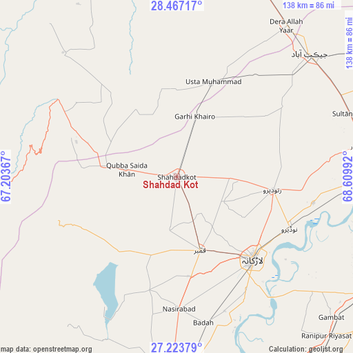
Shahdad Kot GPS coordinates[2]
27° 50' 50.136" North, 67° 54' 24.444" East
| Map corner | latitude | longitude |
|---|---|---|
| Upper-left | 28.46717°, | 67.20367° |
| Center: | 27.84726°, | 67.90679° |
| Lower-right: | 27.22379°, | 68.60992° |
| Map W x H: | 138.3×138.3 km | = 85.9×85.9mi |
| max Lat: | 36.32162° ⇑74.7% North |
| Shahdad Kot: | 27.84726° |
| min Lat: | ⇓25.3% South 24.14422° |
| min Long | Shahdad Kot | max Long |
| 61.74573° | 67.90679° | 75.63372° |
| W 10.2%⇐ | ⇒89.8% E |
Elevation
Elevation of Shahdad Kot is 52 m = 171 ft, and this is 293 m = 961 ft below average elevation for this country.
| Max E: |
2732 m = 8963 ft | 81% |
| Avg. | 345 m = 1132 ft | |
| Shahdad Kot | 52 m = 171 ft | |
Min E: |
3 m = 10 ft | 19% |
See also: Shahdad Kot elevation on elevation.city.
Geographical zone
Shahdad Kot is located in North temperate zone (between Tropic of Cancer and the Arctic Circle). Distance of this Northern Tropic circle is 490.4 km =304.7 mi to South.| Distance of | km | miles | from Shahdad Kot |
|---|---|---|---|
| North Pole | 6910.7 | 4294.1 | to North |
| Arctic Circle | 4304.8 | 2674.9 | to North |
| Tropic Cancer | 490.4 | 304.7 | to South |
| Equator | 3096.3 | 1924 | to South |


Nearby cities:
15 places around Shahdad Kot: (largest is in red/bold)
• Chowki Jamali
19.2 km =11.9 mi,  4°
4°
• Dokri
55.8 km =34.7 mi,  160°
160°
• Garhi Khairo
24.8 km =15.4 mi,  16°
16°
• Goth Garelo
48.7 km =30.3 mi, 160°
• Kambar
30.3 km =18.8 mi, 162°
• Larkana
43.9 km =27.3 mi,  136°
136°
• Madeji
54.6 km =33.9 mi,  101°
101°
• Mehrabpur
31.2 km =19.4 mi, 21°
• Miro Khan
20.6 km =12.8 mi,  118°
118°
• Nasirabad
51.8 km =32.2 mi,  178°
178°
• Naudero
49 km =30.4 mi,  114°
114°
• New Bādāh
57.6 km =35.8 mi,  167°
167°
• Ratodero
37.9 km =23.5 mi, 97°
• Usta Muhammad
39.1 km =24.3 mi, 20°
• Warah
45.7 km =28.4 mi,  193°
193°
Sources, notices
• [Note1] Compared only with cities in Pakistan existing in our database
• [Src1] Map data: © OpenStreetMap contributors (CC-BY-SA)
• [Src2] Other city data from geonames.org with taken over terms of usage.
• [Src3] Geographical zone / Annual Mean Temperature by Robert A. Rohde @ Wikipedia
