Ryjewo geodata
Ryjewo (Pomerania) is a populated place; located in Poland in Europe/Warsaw (GMT+2) time zone. With population of 2,914 people, there are 1086 cities with bigger population in this country. Compared to other cities in Poland, 92.7% of cities are located further ↓South; 60.7% of cities are located further →East and 97.3% of cities have higher elevation than Ryjewo. Note1


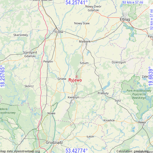
Ryjewo GPS coordinates[2]
53° 50' 40.668" North, 18° 57' 38.772" East
| Map corner | latitude | longitude |
|---|---|---|
| Upper-left | 54.25741°, | 18.25765° |
| Center: | 53.84463°, | 18.96077° |
| Lower-right: | 53.42774°, | 19.6639° |
| Map W x H: | 92.3×92.2 km | = 57.4×57.3mi |
| max Lat: | 54.83135° ⇑7.3% North |
| Ryjewo: | 53.84463° |
| min Lat: | ⇓92.7% South 49.21328° |
| min Long | Ryjewo | max Long |
| 14.20249° | 18.96077° | 24.03723° |
| W 39.3%⇐ | ⇒60.7% E |
Elevation
Elevation of Ryjewo is 19 m = 62 ft, and this is 172.4 m = 566 ft below average elevation for this country.
| Max E: |
974 m = 3196 ft | 97.3% |
| Avg. | 191.4 m = 628 ft | |
| Ryjewo | 19 m = 62 ft | |
Min E: |
-3 m = -10 ft | 2.7% |
See also: Poland elevation on elevation.city.
Geographical zone
Ryjewo is located in North temperate zone (between Tropic of Cancer and the Arctic Circle). Distance of this North polar circle is 1414.2 km =878.7 mi to North.| Distance of | km | miles | from Ryjewo |
|---|---|---|---|
| North Pole | 4020.1 | 2498 | to North |
| Arctic Circle | 1414.2 | 878.7 | to North |
| Tropic Cancer | 3381 | 2100.9 | to South |
| Equator | 5987 | 3720.1 | to South |


Nearby cities:
15 places around Ryjewo: (largest is in red/bold)
• Gniew
9.1 km =5.7 mi,  263°
263°
• Kopytkowo
23.7 km =14.7 mi,  239°
239°
• Kwidzyn
13.4 km =8.3 mi,  188°
188°
• Malbork
21.7 km =13.5 mi,  11°
11°
• Mikołajki Pomorskie
13.5 km =8.4 mi,  86°
86°
• Miłoradz
19 km =11.8 mi,  351°
351°
• Morzeszczyn
17.7 km =11 mi,  268°
268°
• Pelplin
19.6 km =12.2 mi,  298°
298°
• Prabuty
18.9 km =11.7 mi,  121°
121°
• Sadlinki
20.8 km =12.9 mi,  197°
197°
• Smętowo Graniczne
21.1 km =13.1 mi, 238°
• Stary Targ
16.3 km =10.1 mi,  57°
57°
• Subkowy
21.6 km =13.4 mi,  324°
324°
• Sztum
9.6 km =6 mi,  28°
28°
• Wielkie Walichnowy
10.7 km =6.6 mi, 318°
Sources, notices
• [Note1] Compared only with cities in Poland existing in our database
• [Src1] Map data: © OpenStreetMap contributors (CC-BY-SA)
• [Src2] Other city data from geonames.org with taken over terms of usage.
• [Src3] Geographical zone / Annual Mean Temperature by Robert A. Rohde @ Wikipedia
