Konopnica geodata
Konopnica (Łódź Voivodeship) is a populated place; located in Poland in Europe/Warsaw (GMT+2) time zone. With population of 840 people, there are 2782 cities with bigger population in this country. Compared to other cities in Poland, 54.1% of cities are located further ↓South; 62.9% of cities are located further →East and 53.7% of cities have higher elevation than Konopnica. Note1


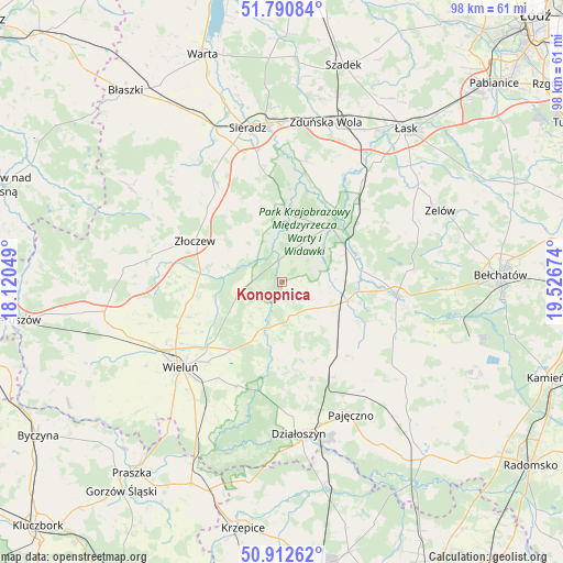
Konopnica GPS coordinates[2]
51° 21' 13.788" North, 18° 49' 24.996" East
| Map corner | latitude | longitude |
|---|---|---|
| Upper-left | 51.79084°, | 18.12049° |
| Center: | 51.35383°, | 18.82361° |
| Lower-right: | 50.91262°, | 19.52674° |
| Map W x H: | 97.6×97.6 km | = 60.6×60.6mi |
| max Lat: | 54.83135° ⇑45.9% North |
| Konopnica: | 51.35383° |
| min Lat: | ⇓54.1% South 49.21328° |
| min Long | Konopnica | max Long |
| 14.20249° | 18.82361° | 24.03723° |
| W 37.1%⇐ | ⇒62.9% E |
Elevation
Elevation of Konopnica is 162 m = 531 ft, and this is 29.4 m = 96 ft below average elevation for this country.
| Max E: |
974 m = 3196 ft | 53.7% |
| Avg. | 191.4 m = 628 ft | |
| Konopnica | 162 m = 531 ft | |
Min E: |
-3 m = -10 ft | 46.3% |
See also: Poland elevation on elevation.city.
Geographical zone
Konopnica is located in North temperate zone (between Tropic of Cancer and the Arctic Circle). Distance of this North polar circle is 1691.2 km =1050.9 mi to North.| Distance of | km | miles | from Konopnica |
|---|---|---|---|
| North Pole | 4297.1 | 2670.1 | to North |
| Arctic Circle | 1691.2 | 1050.9 | to North |
| Tropic Cancer | 3104.1 | 1928.8 | to South |
| Equator | 5710 | 3548 | to South |


Nearby cities:
15 places around Konopnica: (largest is in red/bold)
• Brzeźnio
20.9 km =13 mi,  318°
318°
• Burzenin
11.9 km =7.4 mi,  2°
2°
• Czarnożyły
19.8 km =12.3 mi,  247°
247°
• Kiełczygłów
16.9 km =10.5 mi,  139°
139°
• Lipnik
13.7 km =8.5 mi,  166°
166°
• Masłowice
16.8 km =10.4 mi,  230°
230°
• Osjaków
7.5 km =4.7 mi,  197°
197°
• Ostrówek
14 km =8.7 mi,  261°
261°
• Rusiec
11.7 km =7.3 mi,  106°
106°
• Rząśnia
21.3 km =13.2 mi,  134°
134°
• Siemkowice
17.7 km =11 mi,  162°
162°
• Szczerców
20 km =12.4 mi,  96°
96°
• Widawa
12.6 km =7.8 mi,  41°
41°
• Wierzchlas
19.9 km =12.4 mi,  213°
213°
• Złoczew
16.8 km =10.4 mi,  294°
294°
Sources, notices
• [Note1] Compared only with cities in Poland existing in our database
• [Src1] Map data: © OpenStreetMap contributors (CC-BY-SA)
• [Src2] Other city data from geonames.org with taken over terms of usage.
• [Src3] Geographical zone / Annual Mean Temperature by Robert A. Rohde @ Wikipedia
