Dobrzany geodata
Dobrzany (West Pomerania) is a seat of a third-order administrative division; located in Poland in Europe/Warsaw (GMT+2) time zone. With population of 2,360 people, there are 1299 cities with bigger population in this country. Compared to other cities in Poland, 88.1% of cities are located further ↓South; 95.7% of cities are located further →East and 89.2% of cities have higher elevation than Dobrzany. Note1


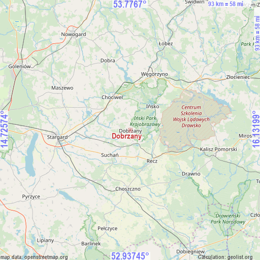
Dobrzany GPS coordinates[2]
53° 21' 32.904" North, 15° 25' 43.896" East
| Map corner | latitude | longitude |
|---|---|---|
| Upper-left | 53.7767°, | 14.72574° |
| Center: | 53.35914°, | 15.42886° |
| Lower-right: | 52.93745°, | 16.13199° |
| Map W x H: | 93.3×93.3 km | = 58×58mi |
| max Lat: | 54.83135° ⇑11.9% North |
| Dobrzany: | 53.35914° |
| min Lat: | ⇓88.1% South 49.21328° |
| min Long | Dobrzany | max Long |
| 14.20249° | 15.42886° | 24.03723° |
| W 4.3%⇐ | ⇒95.7% E |
Elevation
Elevation of Dobrzany is 78 m = 256 ft, and this is 113.4 m = 372 ft below average elevation for this country.
| Max E: |
974 m = 3196 ft | 89.2% |
| Avg. | 191.4 m = 628 ft | |
| Dobrzany | 78 m = 256 ft | |
Min E: |
-3 m = -10 ft | 10.8% |
See also: Poland elevation on elevation.city.
Geographical zone
Dobrzany is located in North temperate zone (between Tropic of Cancer and the Arctic Circle). Distance of this North polar circle is 1468.2 km =912.3 mi to North.| Distance of | km | miles | from Dobrzany |
|---|---|---|---|
| North Pole | 4074.1 | 2531.5 | to North |
| Arctic Circle | 1468.2 | 912.3 | to North |
| Tropic Cancer | 3327.1 | 2067.4 | to South |
| Equator | 5933 | 3686.6 | to South |


Nearby cities:
15 places around Dobrzany: (largest is in red/bold)
• Chociwel
13.6 km =8.5 mi,  332°
332°
• Choszczno
21.1 km =13.1 mi,  181°
181°
• Dobra
26.5 km =16.5 mi,  342°
342°
• Dolice
24 km =14.9 mi,  218°
218°
• Drawno
26.9 km =16.7 mi,  125°
125°
• Ińsko
11.7 km =7.3 mi,  43°
43°
• Krzęcin
31.1 km =19.3 mi,  172°
172°
• Marianowo
11.1 km =6.9 mi,  283°
283°
• Maszewo
28.7 km =17.8 mi,  302°
302°
• Recz
13.5 km =8.4 mi,  144°
144°
• Stara Dąbrowa
20.1 km =12.5 mi,  290°
290°
• Stargard
25.3 km =15.7 mi,  264°
264°
• Suchań
11.2 km =7 mi, 217°
• Warnice
31.2 km =19.4 mi,  247°
247°
• Węgorzyno
22 km =13.7 mi,  23°
23°
Sources, notices
• [Note1] Compared only with cities in Poland existing in our database
• [Src1] Map data: © OpenStreetMap contributors (CC-BY-SA)
• [Src2] Other city data from geonames.org with taken over terms of usage.
• [Src3] Geographical zone / Annual Mean Temperature by Robert A. Rohde @ Wikipedia
