Tymbark geodata
Tymbark (Lesser Poland) is a populated place; located in Poland in Europe/Warsaw (GMT+2) time zone. With population of 2,700 people, there are 1159 cities with bigger population in this country. Compared to other cities in Poland, 93.7% of cities are located further ↑North; 62.9% of cities are located further ←West and 95.4% of cities have lower elevation than Tymbark. Note1


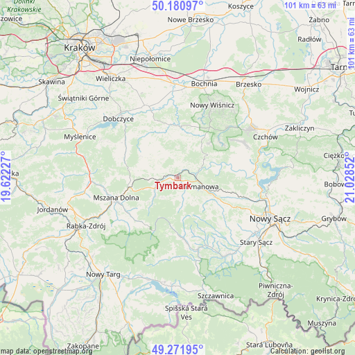
Tymbark GPS coordinates[2]
49° 43' 42.924" North, 20° 19' 31.404" East
| Map corner | latitude | longitude |
|---|---|---|
| Upper-left | 50.18097°, | 19.62227° |
| Center: | 49.72859°, | 20.32539° |
| Lower-right: | 49.27195°, | 21.02852° |
| Map W x H: | 101.1×101.1 km | = 62.8×62.8mi |
| max Lat: | 54.83135° ⇑93.7% North |
| Tymbark: | 49.72859° |
| min Lat: | ⇓6.3% South 49.21328° |
| min Long | Tymbark | max Long |
| 14.20249° | 20.32539° | 24.03723° |
| W 62.9%⇐ | ⇒37.1% E |
Elevation
Elevation of Tymbark is 427 m = 1401 ft, and this is 235.6 m = 773 ft above average elevation for this country.
| Max E: |
974 m = 3196 ft | 4.6% |
| Tymbark | 427 m 1401 ft | |
| Avg. | 191.4 m = 628 ft | |
Min E: |
-3 m = -10 ft | 95.4% |
See also: Poland elevation on elevation.city.
Geographical zone
Tymbark is located in North temperate zone (between Tropic of Cancer and the Arctic Circle). Distance of this North polar circle is 1871.9 km =1163.1 mi to North.| Distance of | km | miles | from Tymbark |
|---|---|---|---|
| North Pole | 4477.8 | 2782.4 | to North |
| Arctic Circle | 1871.9 | 1163.1 | to North |
| Tropic Cancer | 2923.4 | 1816.5 | to South |
| Equator | 5529.3 | 3435.7 | to South |


Nearby cities:
15 places around Tymbark: (largest is in red/bold)
• Dobra
5.3 km =3.3 mi,  257°
257°
• Jodłownik
8.2 km =5.1 mi,  309°
309°
• Kamienica
17.1 km =10.6 mi,  175°
175°
• Kasina Wielka
13.6 km =8.5 mi,  270°
270°
• Krasne-Lasocice
11.6 km =7.2 mi,  323°
323°
• Laskowa
9.7 km =6 mi,  67°
67°
• Limanowa
7.4 km =4.6 mi,  109°
109°
• Lubomierz
16 km =9.9 mi,  213°
213°
• Skrzydlna
10.4 km =6.5 mi,  285°
285°
• Słopnice
5 km =3.1 mi,  165°
165°
• Trzciana
13.4 km =8.3 mi,  15°
15°
• Wilczyce
11.3 km =7 mi,  232°
232°
• Wiśniowa
16.5 km =10.3 mi, 293°
• Łapanów
15.4 km =9.6 mi,  350°
350°
• Żegocina
11.7 km =7.3 mi,  35°
35°
Sources, notices
• [Note1] Compared only with cities in Poland existing in our database
• [Src1] Map data: © OpenStreetMap contributors (CC-BY-SA)
• [Src2] Other city data from geonames.org with taken over terms of usage.
• [Src3] Geographical zone / Annual Mean Temperature by Robert A. Rohde @ Wikipedia
