Siemiatycze geodata
Siemiatycze (Podlasie) is a seat of a third-order administrative division; located in Poland in Europe/Warsaw (GMT+2) time zone. With population of 15,421 people, there are 322 cities with bigger population in this country. Compared to other cities in Poland, 75.2% of cities are located further ↓South; 94.9% of cities are located further ←West and 59.9% of cities have higher elevation than Siemiatycze. Note1


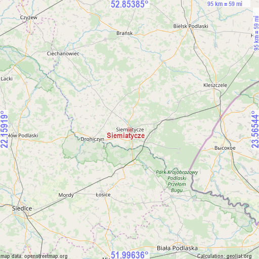
Siemiatycze GPS coordinates[2]
52° 25' 37.884" North, 22° 51' 44.316" East
| Map corner | latitude | longitude |
|---|---|---|
| Upper-left | 52.85385°, | 22.15919° |
| Center: | 52.42719°, | 22.86231° |
| Lower-right: | 51.99636°, | 23.56544° |
| Map W x H: | 95.3×95.3 km | = 59.2×59.2mi |
| max Lat: | 54.83135° ⇑24.8% North |
| Siemiatycze: | 52.42719° |
| min Lat: | ⇓75.2% South 49.21328° |
| min Long | Siemiatycze | max Long |
| 14.20249° | 22.86231° | 24.03723° |
| W 94.9%⇐ | ⇒5.1% E |
Elevation
Elevation of Siemiatycze is 147 m = 482 ft, and this is 44.4 m = 146 ft below average elevation for this country.
| Max E: |
974 m = 3196 ft | 59.9% |
| Avg. | 191.4 m = 628 ft | |
| Siemiatycze | 147 m = 482 ft | |
Min E: |
-3 m = -10 ft | 40.1% |
See also: Poland elevation on elevation.city.
Geographical zone
Siemiatycze is located in North temperate zone (between Tropic of Cancer and the Arctic Circle). Distance of this North polar circle is 1571.8 km =976.7 mi to North.| Distance of | km | miles | from Siemiatycze |
|---|---|---|---|
| North Pole | 4177.7 | 2595.9 | to North |
| Arctic Circle | 1571.8 | 976.7 | to North |
| Tropic Cancer | 3223.4 | 2002.9 | to South |
| Equator | 5829.4 | 3622.2 | to South |


Nearby cities:
15 places around Siemiatycze: (largest is in red/bold)
• Boćki
27.8 km =17.3 mi,  26°
26°
• Drohiczyn
14.1 km =8.8 mi,  257°
257°
• Dziadkowice
15.6 km =9.7 mi,  13°
13°
• Grodzisk
19.4 km =12.1 mi,  334°
334°
• Konstantynów
28.8 km =17.9 mi,  148°
148°
• Korczew
18.8 km =11.7 mi,  244°
244°
• Mielnik
16.3 km =10.1 mi,  130°
130°
• Milejczyce
21 km =13 mi,  60°
60°
• Nurzec-Stacja
15.6 km =9.7 mi,  75°
75°
• Perlejewo
25.4 km =15.8 mi,  307°
307°
• Platerów
14.1 km =8.8 mi,  191°
191°
• Przesmyki
25.9 km =16.1 mi,  226°
226°
• Sarnaki
12.6 km =7.8 mi,  171°
171°
• Stara Kornica
27.8 km =17.3 mi, 169°
• Łosice
25.9 km =16.1 mi,  202°
202°
Sources, notices
• [Note1] Compared only with cities in Poland existing in our database
• [Src1] Map data: © OpenStreetMap contributors (CC-BY-SA)
• [Src2] Other city data from geonames.org with taken over terms of usage.
• [Src3] Geographical zone / Annual Mean Temperature by Robert A. Rohde @ Wikipedia
