Pisz geodata
Pisz (Warmia-Masuria) is a seat of a third-order administrative division; located in Poland in Europe/Warsaw (GMT+2) time zone. With population of 19,232 people, there are 250 cities with bigger population in this country. Compared to other cities in Poland, 90.8% of cities are located further ↓South; 82.4% of cities are located further ←West and 72.1% of cities have higher elevation than Pisz. Note1


Pisz GPS coordinates[2]
53° 37' 38.784" North, 21° 48' 45.108" East
| Map corner | latitude | longitude |
|---|---|---|
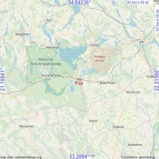
| Upper-left | 54.04236°, | 21.10941° |
| Center: | 53.62744°, | 21.81253° |
| Lower-right: | 53.2084°, | 22.51566° |
| Map W x H: | 92.7×92.7 km | = 57.6×57.6mi |
| max Lat: | 54.83135° ⇑9.2% North |
| Pisz: | 53.62744° |
| min Lat: | ⇓90.8% South 49.21328° |
| min Long | Pisz | max Long |
| 14.20249° | 21.81253° | 24.03723° |
| W 82.4%⇐ | ⇒17.6% E |
Elevation
Elevation of Pisz is 117 m = 384 ft, and this is 74.4 m = 244 ft below average elevation for this country.
| Max E: |
974 m = 3196 ft | 72.1% |
| Avg. | 191.4 m = 628 ft | |
| Pisz | 117 m = 384 ft | |
Min E: |
-3 m = -10 ft | 27.9% |
See also: Poland elevation on elevation.city.
Geographical zone
Pisz is located in North temperate zone (between Tropic of Cancer and the Arctic Circle). Distance of this North polar circle is 1438.4 km =893.8 mi to North.| Distance of | km | miles | from Pisz |
|---|---|---|---|
| North Pole | 4044.2 | 2512.9 | to North |
| Arctic Circle | 1438.4 | 893.8 | to North |
| Tropic Cancer | 3356.9 | 2085.9 | to South |
| Equator | 5962.8 | 3705.1 | to South |


Nearby cities:
15 places around Pisz: (largest is in red/bold)
• Baranowo
32.7 km =20.3 mi,  312°
312°
• Biała Piska
16.6 km =10.3 mi,  95°
95°
• Grabowo
28.9 km =18 mi,  128°
128°
• Janowo
31.4 km =19.5 mi,  167°
167°
• Kolno
25.2 km =15.7 mi,  162°
162°
• Mikołajki
25.2 km =15.7 mi,  320°
320°
• Miłki
35.4 km =22 mi,  7°
7°
• Orzysz
22.1 km =13.7 mi,  23°
23°
• Piecki
34.4 km =21.4 mi,  294°
294°
• Rozogi
33.7 km =20.9 mi,  242°
242°
• Ruciane-Nida
18.1 km =11.2 mi,  275°
275°
• Stawiski
35.6 km =22.1 mi,  140°
140°
• Szczuczyn
32 km =19.9 mi, 102°
• Wąsosz
35.4 km =22 mi,  109°
109°
• Łyse
33.5 km =20.8 mi,  209°
209°
Sources, notices
• [Note1] Compared only with cities in Poland existing in our database
• [Src1] Map data: © OpenStreetMap contributors (CC-BY-SA)
• [Src2] Other city data from geonames.org with taken over terms of usage.
• [Src3] Geographical zone / Annual Mean Temperature by Robert A. Rohde @ Wikipedia
