Rozogi geodata
Rozogi (Warmia-Masuria) is a populated place; located in Poland in Europe/Warsaw (GMT+2) time zone. With population of 1,418 people, there are 1937 cities with bigger population in this country. Compared to other cities in Poland, 89.4% of cities are located further ↓South; 77.6% of cities are located further ←West and 66.1% of cities have higher elevation than Rozogi. Note1


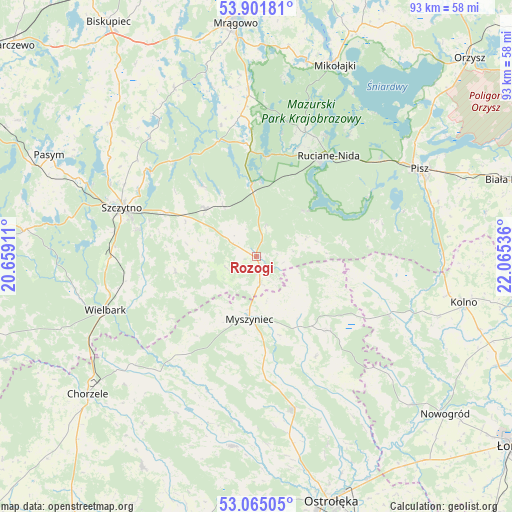
Rozogi GPS coordinates[2]
53° 29' 7.764" North, 21° 21' 44.028" East
| Map corner | latitude | longitude |
|---|---|---|
| Upper-left | 53.90181°, | 20.65911° |
| Center: | 53.48549°, | 21.36223° |
| Lower-right: | 53.06505°, | 22.06536° |
| Map W x H: | 93×93 km | = 57.8×57.8mi |
| max Lat: | 54.83135° ⇑10.6% North |
| Rozogi: | 53.48549° |
| min Lat: | ⇓89.4% South 49.21328° |
| min Long | Rozogi | max Long |
| 14.20249° | 21.36223° | 24.03723° |
| W 77.6%⇐ | ⇒22.4% E |
Elevation
Elevation of Rozogi is 130 m = 427 ft, and this is 61.4 m = 201 ft below average elevation for this country.
| Max E: |
974 m = 3196 ft | 66.1% |
| Avg. | 191.4 m = 628 ft | |
| Rozogi | 130 m = 427 ft | |
Min E: |
-3 m = -10 ft | 33.9% |
See also: Poland elevation on elevation.city.
Geographical zone
Rozogi is located in North temperate zone (between Tropic of Cancer and the Arctic Circle). Distance of this North polar circle is 1454.1 km =903.5 mi to North.| Distance of | km | miles | from Rozogi |
|---|---|---|---|
| North Pole | 4060 | 2522.8 | to North |
| Arctic Circle | 1454.1 | 903.5 | to North |
| Tropic Cancer | 3341.1 | 2076.1 | to South |
| Equator | 5947 | 3695.3 | to South |


Nearby cities:
15 places around Rozogi: (largest is in red/bold)
• Baranowo
34.7 km =21.6 mi,  187°
187°
• Baranowo
38.3 km =23.8 mi,  8°
8°
• Czarnia
18.1 km =11.2 mi,  217°
217°
• Dźwierzuty
36 km =22.4 mi,  312°
312°
• Kadzidło
28.7 km =17.8 mi,  166°
166°
• Lelis
36.2 km =22.5 mi,  158°
158°
• Mikołajki
37.9 km =23.5 mi,  21°
21°
• Myszyniec
11.7 km =7.3 mi,  184°
184°
• Piecki
30.3 km =18.8 mi,  357°
357°
• Pisz
33.7 km =20.9 mi,  62°
62°
• Ruciane-Nida
20.9 km =13 mi,  34°
34°
• Szczytno
26.2 km =16.3 mi,  289°
289°
• Wielbark
29.2 km =18.1 mi,  250°
250°
• Łyse
19 km =11.8 mi,  135°
135°
• Świętajno
13.3 km =8.3 mi, 313°
Sources, notices
• [Note1] Compared only with cities in Poland existing in our database
• [Src1] Map data: © OpenStreetMap contributors (CC-BY-SA)
• [Src2] Other city data from geonames.org with taken over terms of usage.
• [Src3] Geographical zone / Annual Mean Temperature by Robert A. Rohde @ Wikipedia
