Piecki geodata
Piecki (Warmia-Masuria) is a populated place; located in Poland in Europe/Warsaw (GMT+2) time zone. With population of 3,320 people, there are 962 cities with bigger population in this country. Compared to other cities in Poland, 91.9% of cities are located further ↓South; 77.4% of cities are located further ←West and 59.9% of cities have higher elevation than Piecki. Note1


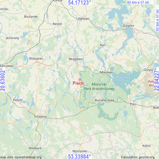
Piecki GPS coordinates[2]
53° 45' 27.324" North, 21° 20' 20.904" East
| Map corner | latitude | longitude |
|---|---|---|
| Upper-left | 54.17123°, | 20.63602° |
| Center: | 53.75759°, | 21.33914° |
| Lower-right: | 53.33984°, | 22.04227° |
| Map W x H: | 92.4×92.4 km | = 57.4×57.4mi |
| max Lat: | 54.83135° ⇑8.1% North |
| Piecki: | 53.75759° |
| min Lat: | ⇓91.9% South 49.21328° |
| min Long | Piecki | max Long |
| 14.20249° | 21.33914° | 24.03723° |
| W 77.4%⇐ | ⇒22.6% E |
Elevation
Elevation of Piecki is 147 m = 482 ft, and this is 44.4 m = 146 ft below average elevation for this country.
| Max E: |
974 m = 3196 ft | 59.9% |
| Avg. | 191.4 m = 628 ft | |
| Piecki | 147 m = 482 ft | |
Min E: |
-3 m = -10 ft | 40.1% |
See also: Poland elevation on elevation.city.
Geographical zone
Piecki is located in North temperate zone (between Tropic of Cancer and the Arctic Circle). Distance of this North polar circle is 1423.9 km =884.8 mi to North.| Distance of | km | miles | from Piecki |
|---|---|---|---|
| North Pole | 4029.8 | 2504 | to North |
| Arctic Circle | 1423.9 | 884.8 | to North |
| Tropic Cancer | 3371.4 | 2094.9 | to South |
| Equator | 5977.3 | 3714.1 | to South |


Nearby cities:
15 places around Piecki: (largest is in red/bold)
• Baranowo
10.4 km =6.5 mi,  42°
42°
• Biskupiec
27.8 km =17.3 mi,  295°
295°
• Czerwonka
34 km =21.1 mi, 301°
• Dźwierzuty
25.6 km =15.9 mi,  256°
256°
• Kolno
34.9 km =21.7 mi,  319°
319°
• Mikołajki
16 km =9.9 mi,  71°
71°
• Mrągowo
12.1 km =7.5 mi,  349°
349°
• Pisz
34.4 km =21.4 mi,  114°
114°
• Reszel
34.9 km =21.7 mi,  338°
338°
• Rozogi
30.3 km =18.8 mi,  177°
177°
• Ruciane-Nida
18.5 km =11.5 mi,  134°
134°
• Ryn
24.2 km =15 mi,  34°
34°
• Sorkwity
16.3 km =10.1 mi,  306°
306°
• Szczytno
31.7 km =19.7 mi,  226°
226°
• Świętajno
22.7 km =14.1 mi,  201°
201°
Sources, notices
• [Note1] Compared only with cities in Poland existing in our database
• [Src1] Map data: © OpenStreetMap contributors (CC-BY-SA)
• [Src2] Other city data from geonames.org with taken over terms of usage.
• [Src3] Geographical zone / Annual Mean Temperature by Robert A. Rohde @ Wikipedia
