Krzywda geodata
Krzywda (Lublin) is a populated place; located in Poland in Europe/Warsaw (GMT+2) time zone. With population of 1,400 people, there are 1959 cities with bigger population in this country. Compared to other cities in Poland, 62% of cities are located further ↓South; 87.4% of cities are located further ←West and 51.9% of cities have higher elevation than Krzywda. Note1


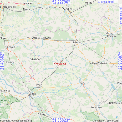
Krzywda GPS coordinates[2]
51° 47' 42.684" North, 22° 11' 59.784" East
| Map corner | latitude | longitude |
|---|---|---|
| Upper-left | 52.22796°, | 21.49682° |
| Center: | 51.79519°, | 22.19994° |
| Lower-right: | 51.35823°, | 22.90307° |
| Map W x H: | 96.7×96.7 km | = 60.1×60.1mi |
| max Lat: | 54.83135° ⇑38% North |
| Krzywda: | 51.79519° |
| min Lat: | ⇓62% South 49.21328° |
| min Long | Krzywda | max Long |
| 14.20249° | 22.19994° | 24.03723° |
| W 87.4%⇐ | ⇒12.6% E |
Elevation
Elevation of Krzywda is 167 m = 548 ft, and this is 24.4 m = 80 ft below average elevation for this country.
| Max E: |
974 m = 3196 ft | 51.9% |
| Avg. | 191.4 m = 628 ft | |
| Krzywda | 167 m = 548 ft | |
Min E: |
-3 m = -10 ft | 48.1% |
See also: Poland elevation on elevation.city.
Geographical zone
Krzywda is located in North temperate zone (between Tropic of Cancer and the Arctic Circle). Distance of this North polar circle is 1642.1 km =1020.4 mi to North.| Distance of | km | miles | from Krzywda |
|---|---|---|---|
| North Pole | 4248 | 2639.6 | to North |
| Arctic Circle | 1642.1 | 1020.4 | to North |
| Tropic Cancer | 3153.2 | 1959.3 | to South |
| Equator | 5759.1 | 3578.5 | to South |


Nearby cities:
15 places around Krzywda: (largest is in red/bold)
• Adamów
7.3 km =4.5 mi,  142°
142°
• Borki
23.6 km =14.7 mi,  110°
110°
• Bystrzyca
8.2 km =5.1 mi, 106°
• Jeziorzany
22.1 km =13.7 mi,  166°
166°
• Kawęczyn
16.5 km =10.3 mi,  236°
236°
• Kłoczew
18.1 km =11.2 mi, 243°
• Nowodwór
18.6 km =11.6 mi,  201°
201°
• Przytoczno
20.1 km =12.5 mi, 165°
• Sarnów
9.8 km =6.1 mi,  45°
45°
• Serokomla
13.9 km =8.6 mi, 139°
• Stanin
8.3 km =5.2 mi,  1°
1°
• Ułęż
23.5 km =14.6 mi, 195°
• Wojcieszków
8.5 km =5.3 mi, 109°
• Łuków
19.3 km =12 mi,  39°
39°
• Żelechów
20.9 km =13 mi,  274°
274°
Sources, notices
• [Note1] Compared only with cities in Poland existing in our database
• [Src1] Map data: © OpenStreetMap contributors (CC-BY-SA)
• [Src2] Other city data from geonames.org with taken over terms of usage.
• [Src3] Geographical zone / Annual Mean Temperature by Robert A. Rohde @ Wikipedia
