Kortowo geodata
Kortowo (Warmia-Masuria) is a populated place; located in Poland in Europe/Warsaw (GMT+2) time zone. With population of 1,070 people, there are 2387 cities with bigger population in this country. Compared to other cities in Poland, 91.8% of cities are located further ↓South; 64.5% of cities are located further ←West and 72.6% of cities have higher elevation than Kortowo. Note1


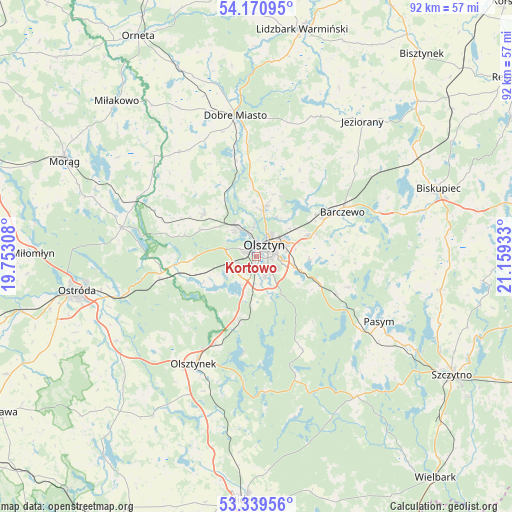
Kortowo GPS coordinates[2]
53° 45' 26.316" North, 20° 27' 22.32" East
| Map corner | latitude | longitude |
|---|---|---|
| Upper-left | 54.17095°, | 19.75308° |
| Center: | 53.75731°, | 20.4562° |
| Lower-right: | 53.33956°, | 21.15933° |
| Map W x H: | 92.4×92.4 km | = 57.4×57.4mi |
| max Lat: | 54.83135° ⇑8.2% North |
| Kortowo: | 53.75731° |
| min Lat: | ⇓91.8% South 49.21328° |
| min Long | Kortowo | max Long |
| 14.20249° | 20.4562° | 24.03723° |
| W 64.5%⇐ | ⇒35.5% E |
Elevation
Elevation of Kortowo is 116 m = 381 ft, and this is 75.4 m = 247 ft below average elevation for this country.
| Max E: |
974 m = 3196 ft | 72.6% |
| Avg. | 191.4 m = 628 ft | |
| Kortowo | 116 m = 381 ft | |
Min E: |
-3 m = -10 ft | 27.4% |
See also: Poland elevation on elevation.city.
Geographical zone
Kortowo is located in North temperate zone (between Tropic of Cancer and the Arctic Circle). Distance of this North polar circle is 1423.9 km =884.8 mi to North.| Distance of | km | miles | from Kortowo |
|---|---|---|---|
| North Pole | 4029.8 | 2504 | to North |
| Arctic Circle | 1423.9 | 884.8 | to North |
| Tropic Cancer | 3371.3 | 2094.8 | to South |
| Equator | 5977.3 | 3714.1 | to South |


Nearby cities:
15 places around Kortowo: (largest is in red/bold)
• Barczewo
17.4 km =10.8 mi,  62°
62°
• Dobre Miasto
25.8 km =16 mi,  351°
351°
• Dywity
9 km =5.6 mi,  9°
9°
• Gietrzwałd
14.4 km =8.9 mi,  265°
265°
• Jabłonka
29.7 km =18.5 mi,  166°
166°
• Jeziorany
30.9 km =19.2 mi,  38°
38°
• Jonkowo
12.4 km =7.7 mi,  309°
309°
• Olsztyn
3.5 km =2.2 mi, 44°
• Olsztynek
22.4 km =13.9 mi,  210°
210°
• Pasym
25.1 km =15.6 mi,  118°
118°
• Purda
17.4 km =10.8 mi,  108°
108°
• Spręcowo
13.7 km =8.5 mi, 354°
• Stawiguda
11.7 km =7.3 mi,  198°
198°
• Łukta
25 km =15.5 mi,  282°
282°
• Świątki
23.5 km =14.6 mi,  323°
323°
Sources, notices
• [Note1] Compared only with cities in Poland existing in our database
• [Src1] Map data: © OpenStreetMap contributors (CC-BY-SA)
• [Src2] Other city data from geonames.org with taken over terms of usage.
• [Src3] Geographical zone / Annual Mean Temperature by Robert A. Rohde @ Wikipedia
