Ola geodata
Ola (Magadan Oblast) is a populated place; located in Russia in Asia/Magadan (GMT+11) time zone. With population of 6,347 people, there are 2165 cities with bigger population in this country. Compared to other cities in Russia, 88.1% of cities are located further ↓South; 99.4% of cities are located further ←West and 97.6% of cities have higher elevation than Ola. Note1


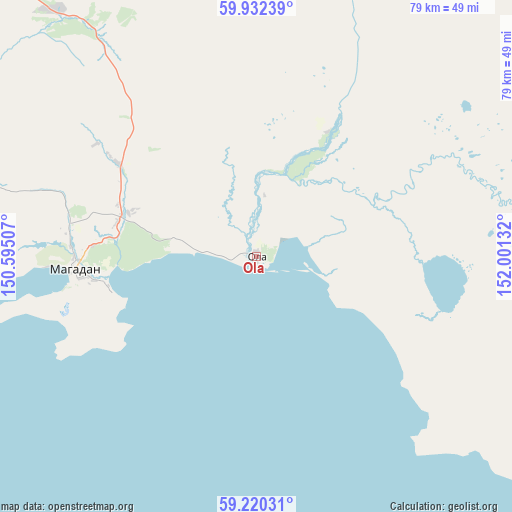
Ola GPS coordinates[2]
59° 34' 41.628" North, 151° 17' 53.484" East
| Map corner | latitude | longitude |
|---|---|---|
| Upper-left | 59.93239°, | 150.59507° |
| Center: | 59.57823°, | 151.29819° |
| Lower-right: | 59.22031°, | 152.00132° |
| Map W x H: | 79.2×79.2 km | = 49.2×49.2mi |
| max Lat: | 73.50819° ⇑11.9% North |
| Ola: | 59.57823° |
| min Lat: | ⇓88.1% South 41.28413° |
| min Long | Ola | max Long |
| -179.12198° | 151.29819° | 179.35046° |
| W 99.4%⇐ | ⇒0.59999999999999% E |
Elevation
Elevation of Ola is 6 m = 20 ft, and this is 196.6 m = 645 ft below average elevation for this country.
| Max E: |
2518 m = 8261 ft | 97.6% |
| Avg. | 202.6 m = 665 ft | |
| Ola | 6 m = 20 ft | |
Min E: |
-28 m = -92 ft | 2.4% |
See also: Russia elevation on elevation.city.
Geographical zone
Ola is located in North temperate zone (between Tropic of Cancer and the Arctic Circle). Distance of this North polar circle is 776.7 km =482.6 mi to North.| Distance of | km | miles | from Ola |
|---|---|---|---|
| North Pole | 3382.6 | 2101.8 | to North |
| Arctic Circle | 776.7 | 482.6 | to North |
| Tropic Cancer | 4018.6 | 2497 | to South |
| Equator | 6624.5 | 4116.3 | to South |


Nearby cities:
15 places around Ola: (largest is in red/bold)
• Arman’
66.4 km =41.3 mi,  278°
278°
• Atka
142.4 km =88.5 mi,  10°
10°
• Burkhala
360.9 km =224.3 mi,  341°
341°
• Debin
308.7 km =191.8 mi,  354°
354°
• Karamken
71.1 km =44.2 mi, 350°
• Magadan
27.9 km =17.3 mi,  266°
266°
• Orotukan
299.3 km =186 mi,  3°
3°
• Palatka
61.7 km =38.3 mi, 340°
• Sinegor'ye
282.2 km =175.4 mi, 351°
• Sokol
48.7 km =30.3 mi,  320°
320°
• Spornoye
307.4 km =191 mi,  358°
358°
• Talaya
214.9 km =133.5 mi,  22°
22°
• Uptar
42.9 km =26.7 mi,  326°
326°
• Ust’-Omchug
195.7 km =121.6 mi, 332°
• Yagodnoye
339.6 km =211 mi, 344°
Sources, notices
• [Note1] Compared only with cities in Russia existing in our database
• [Src1] Map data: © OpenStreetMap contributors (CC-BY-SA)
• [Src2] Other city data from geonames.org with taken over terms of usage.
• [Src3] Geographical zone / Annual Mean Temperature by Robert A. Rohde @ Wikipedia
