Promyshlennyy geodata
Promyshlennyy (Komi) is a populated place; located in Russia in Europe/Moscow (GMT+3) time zone. With population of 1,112 people, there are 4568 cities with bigger population in this country. Compared to other cities in Russia, 98.8% of cities are located further ↓South; 75.3% of cities are located further ←West and 64.6% of cities have lower elevation than Promyshlennyy. Note1


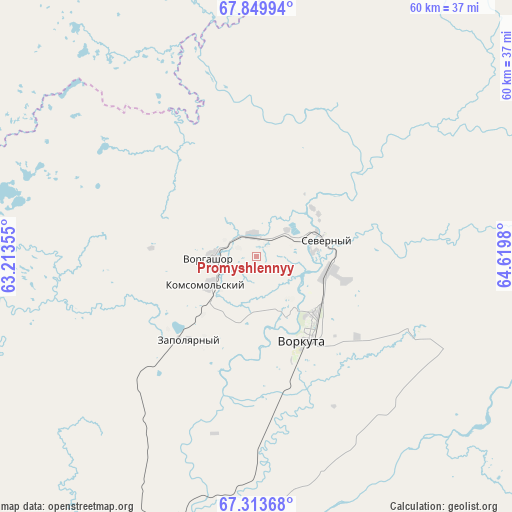
Promyshlennyy GPS coordinates[2]
67° 34' 59.988" North, 63° 55' 0.012" East
| Map corner | latitude | longitude |
|---|---|---|
| Upper-left | 67.84994°, | 63.21355° |
| Center: | 67.58333°, | 63.91667° |
| Lower-right: | 67.31368°, | 64.6198° |
| Map W x H: | 59.6×59.6 km | = 37×37mi |
| max Lat: | 73.50819° ⇑1.2% North |
| Promyshlennyy: | 67.58333° |
| min Lat: | ⇓98.8% South 41.28413° |
| min Long | Promyshlennyy | max Long |
| -179.12198° | 63.91667° | 179.35046° |
| W 75.3%⇐ | ⇒24.7% E |
Elevation
Elevation of Promyshlennyy is 181 m = 594 ft, and this is 21.6 m = 71 ft below average elevation for this country.
| Max E: |
2518 m = 8261 ft | 35.4% |
| Avg. | 202.6 m = 665 ft | |
| Promyshlennyy | 181 m = 594 ft | |
Min E: |
-28 m = -92 ft | 64.6% |
See also: Russia elevation on elevation.city.
Geographical zone
Promyshlennyy is located in North Frigid zone (between North Pole and Arctic Circle). Distance of this North polar circle is 113.4 km =70.5 mi to South.| Distance of | km | miles | from Promyshlennyy |
|---|---|---|---|
| North Pole | 2492.5 | 1548.8 | to North |
| Arctic Circle | 113.4 | 70.5 | to South |
| Tropic Cancer | 4908.6 | 3050.1 | to South |
| Equator | 7514.6 | 4669.4 | to South |


Nearby cities:
14 places around Promyshlennyy: (largest is in red/bold)
• Amderma
258.3 km =160.5 mi,  339°
339°
• Berëzovo
408.5 km =253.8 mi,  172°
172°
• Kharp
119.2 km =74.1 mi,  136°
136°
• Laborovaya
154 km =95.7 mi,  87°
87°
• Labytnangi
149.3 km =92.8 mi,  133°
133°
• Muzhi
245.2 km =152.4 mi, 171°
• Salekhard
165.1 km =102.6 mi, 135°
• Sovetskiy
24 km =14.9 mi,  117°
117°
• Tsementnozavodskiy
8.9 km =5.5 mi,  55°
55°
• Verkhnyaya Inta
238.1 km =147.9 mi,  221°
221°
• Vorgashor
5.2 km =3.2 mi,  270°
270°
• Vorkuta
11 km =6.8 mi,  148°
148°
• Yeletskiy
61.1 km =38 mi, 167°
• Zapolyarnyy
12.5 km =7.8 mi, 218°
Sources, notices
• [Note1] Compared only with cities in Russia existing in our database
• [Src1] Map data: © OpenStreetMap contributors (CC-BY-SA)
• [Src2] Other city data from geonames.org with taken over terms of usage.
• [Src3] Geographical zone / Annual Mean Temperature by Robert A. Rohde @ Wikipedia
