Storuman geodata
Storuman (Västerbotten) is a seat of a second-order administrative division; located in Sweden in Europe/Stockholm (GMT+2) time zone. With population of 2,188 people, there are 494 cities with bigger population in this country. Compared to other cities in Sweden, 96% of cities are located further ↓South; 75.6% of cities are located further ←West and 98.9% of cities have lower elevation than Storuman. Note1


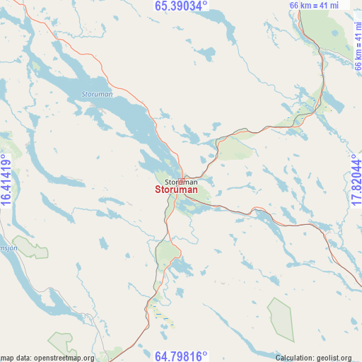
Storuman GPS coordinates[2]
65° 5' 45.24" North, 17° 7' 2.316" East
| Map corner | latitude | longitude |
|---|---|---|
| Upper-left | 65.39034°, | 16.41419° |
| Center: | 65.0959°, | 17.11731° |
| Lower-right: | 64.79816°, | 17.82044° |
| Map W x H: | 65.8×65.8 km | = 40.9×40.9mi |
| max Lat: | 67.85572° ⇑4% North |
| Storuman: | 65.0959° |
| min Lat: | ⇓96% South 55.34337° |
| min Long | Storuman | max Long |
| 11.1712° | 17.11731° | 24.13676° |
| W 75.6%⇐ | ⇒24.4% E |
Elevation
Elevation of Storuman is 396 m = 1299 ft, and this is 313.4 m = 1028 ft above average elevation for this country.
| Max E: |
663 m = 2175 ft | 1.1% |
| Storuman | 396 m 1299 ft | |
| Avg. | 82.6 m = 271 ft | |
Min E: |
-1 m = -3 ft | 98.9% |
See also: Sweden elevation on elevation.city.
Geographical zone
Storuman is located in North temperate zone (between Tropic of Cancer and the Arctic Circle). Distance of this North polar circle is 163.2 km =101.4 mi to North.| Distance of | km | miles | from Storuman |
|---|---|---|---|
| North Pole | 2769.1 | 1720.6 | to North |
| Arctic Circle | 163.2 | 101.4 | to North |
| Tropic Cancer | 4632.1 | 2878.3 | to South |
| Equator | 7238 | 4497.5 | to South |


Nearby cities:
15 places around Storuman: (largest is in red/bold)
• Arjeplog
112 km =69.6 mi,  18°
18°
• Arvidsjaur
109.8 km =68.2 mi,  59°
59°
• Björkvik
84.9 km =52.8 mi,  301°
301°
• Dorotea
98.6 km =61.3 mi,  199°
199°
• Guojkkasuoluoj
76.4 km =47.5 mi,  36°
36°
• Hoting
117.6 km =73.1 mi, 201°
• Insjön
79.3 km =49.3 mi,  167°
167°
• Lycksele
92.2 km =57.3 mi,  127°
127°
• Malå
76.6 km =47.6 mi,  82°
82°
• Norsjö
112.9 km =70.2 mi,  100°
100°
• Sorsele
52.6 km =32.7 mi, 21°
• Söderfors
53.8 km =33.4 mi, 125°
• Vilhelmina
56.8 km =35.3 mi, 202°
• Åsele
104.6 km =65 mi, 173°
• Östansjö
112.3 km =69.8 mi,  9°
9°
Sources, notices
• [Note1] Compared only with cities in Sweden existing in our database
• [Src1] Map data: © OpenStreetMap contributors (CC-BY-SA)
• [Src2] Other city data from geonames.org with taken over terms of usage.
• [Src3] Geographical zone / Annual Mean Temperature by Robert A. Rohde @ Wikipedia
