Östansjö geodata
Östansjö (Norrbotten) is a populated place; located in Sweden in Europe/Stockholm (GMT+2) time zone. With population of 862 people, there are 915 cities with bigger population in this country. Compared to other cities in Sweden, 98.9% of cities are located further ↓South; 79.7% of cities are located further ←West and 99.6% of cities have lower elevation than Östansjö. Note1


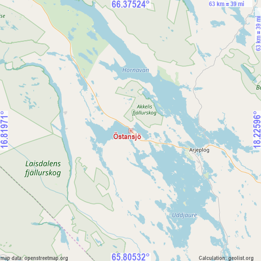
Östansjö GPS coordinates[2]
66° 5' 30.768" North, 17° 31' 22.188" East
| Map corner | latitude | longitude |
|---|---|---|
| Upper-left | 66.37524°, | 16.81971° |
| Center: | 66.09188°, | 17.52283° |
| Lower-right: | 65.80532°, | 18.22596° |
| Map W x H: | 63.4×63.4 km | = 39.4×39.4mi |
| max Lat: | 67.85572° ⇑1.1% North |
| Östansjö: | 66.09188° |
| min Lat: | ⇓98.9% South 55.34337° |
| min Long | Östansjö | max Long |
| 11.1712° | 17.52283° | 24.13676° |
| W 79.7%⇐ | ⇒20.3% E |
Elevation
Elevation of Östansjö is 436 m = 1430 ft, and this is 353.4 m = 1159 ft above average elevation for this country.
| Max E: |
663 m = 2175 ft | 0.40000000000001% |
| Östansjö | 436 m 1430 ft | |
| Avg. | 82.6 m = 271 ft | |
Min E: |
-1 m = -3 ft | 99.6% |
See also: Sweden elevation on elevation.city.
Geographical zone
Östansjö is located in North temperate zone (between Tropic of Cancer and the Arctic Circle). Distance of this North polar circle is 52.4 km =32.6 mi to North.| Distance of | km | miles | from Östansjö |
|---|---|---|---|
| North Pole | 2658.3 | 1651.8 | to North |
| Arctic Circle | 52.4 | 32.6 | to North |
| Tropic Cancer | 4742.8 | 2947 | to South |
| Equator | 7348.7 | 4566.3 | to South |


Nearby cities:
15 places around Östansjö: (largest is in red/bold)
• Arjeplog
17 km =10.6 mi,  105°
105°
• Arvidsjaur
93.3 km =58 mi,  126°
126°
• Björkvik
110.8 km =68.8 mi,  233°
233°
• Guojkkasuoluoj
55.9 km =34.7 mi,  152°
152°
• Jokkmokk
117.5 km =73 mi,  60°
60°
• Jörn
163 km =101.3 mi, 134°
• Malå
115.3 km =71.6 mi, 150°
• Norsjö
159.2 km =98.9 mi, 145°
• Sorsele
61.9 km =38.5 mi,  179°
179°
• Storuman
112.3 km =69.8 mi,  189°
189°
• Söderfors
143.9 km =89.4 mi,  170°
170°
• Vidsel
138.6 km =86.1 mi,  101°
101°
• Vilhelmina
168.1 km =104.5 mi, 193°
• Vuollerim
143.8 km =89.4 mi,  74°
74°
• Älvsbyn
164.6 km =102.3 mi, 106°
Sources, notices
• [Note1] Compared only with cities in Sweden existing in our database
• [Src1] Map data: © OpenStreetMap contributors (CC-BY-SA)
• [Src2] Other city data from geonames.org with taken over terms of usage.
• [Src3] Geographical zone / Annual Mean Temperature by Robert A. Rohde @ Wikipedia
