Chae Hom geodata
Chae Hom (Lampang) is a seat of a second-order administrative division; located in Thailand in Asia/Bangkok (GMT+7) time zone. In our database, there are 331 cities with bigger population. Compared to other cities in Thailand, 93.7% of cities are located further ↓South; 84.1% of cities are located further →East and 92.9% of cities have lower elevation than Chae Hom. Note1


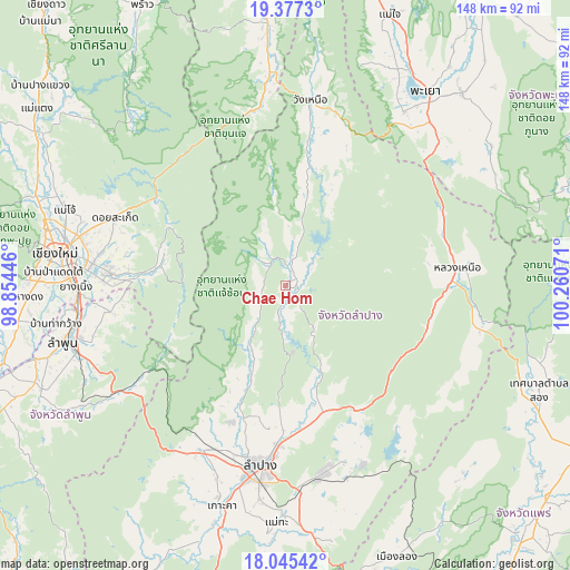
Chae Hom GPS coordinates[2]
18° 42' 45.612" North, 99° 33' 27.288" East
| Map corner | latitude | longitude |
|---|---|---|
| Upper-left | 19.3773°, | 98.85446° |
| Center: | 18.71267°, | 99.55758° |
| Lower-right: | 18.04542°, | 100.26071° |
| Map W x H: | 148.1×148.1 km | = 92×92mi |
| max Lat: | 20.43353° ⇑6.3% North |
| Chae Hom: | 18.71267° |
| min Lat: | ⇓93.7% South 5.77434° |
| min Long | Chae Hom | max Long |
| 97.93288° | 99.55758° | 105.49506° |
| W 15.9%⇐ | ⇒84.1% E |
Elevation
Elevation of Chae Hom is 326 m = 1070 ft, and this is 200.5 m = 658 ft above average elevation for this country.
| Max E: |
1011 m = 3317 ft | 7.1% |
| Chae Hom | 326 m 1070 ft | |
| Avg. | 125.5 m = 412 ft | |
Min E: |
1 m = 3 ft | 92.9% |
See also: Thailand elevation on elevation.city.
Geographical zone
Chae Hom is located in North Torrid zone (between Equator and Tropic of Cancer). Distance of this Northern Tropic circle is 525.3 km =326.4 mi to North.| Distance of | km | miles | from Chae Hom |
|---|---|---|---|
| North Pole | 7926.4 | 4925.2 | to North |
| Arctic Circle | 5320.5 | 3306 | to North |
| Tropic Cancer | 525.3 | 326.4 | to North |
| Equator | 2080.7 | 1292.9 | to South |


Nearby cities:
15 places around Chae Hom: (largest is in red/bold)
• Ban Thi
47.3 km =29.4 mi,  259°
259°
• Chiang Mai
60.9 km =37.8 mi,  278°
278°
• Hang Chat
48.1 km =29.9 mi,  207°
207°
• Ko Kha
60.4 km =37.5 mi,  196°
196°
• Lampang
47.2 km =29.3 mi,  188°
188°
• Lamphun
59.8 km =37.2 mi, 255°
• Mae Mo
49.6 km =30.8 mi,  168°
168°
• Mae On
33.3 km =20.7 mi, 282°
• Mae Tha
51.9 km =32.2 mi,  237°
237°
• Mueang Pan
8.5 km =5.3 mi,  316°
316°
• Ngao
44.6 km =27.7 mi,  83°
83°
• San Kamphaeng
46.3 km =28.8 mi,  274°
274°
• San Sai
56 km =34.8 mi,  285°
285°
• Saraphi
55 km =34.2 mi, 270°
• Wang Nuea
48.7 km =30.3 mi,  7°
7°
Sources, notices
• [Note1] Compared only with cities in Thailand existing in our database
• [Src1] Map data: © OpenStreetMap contributors (CC-BY-SA)
• [Src2] Other city data from geonames.org with taken over terms of usage.
• [Src3] Geographical zone / Annual Mean Temperature by Robert A. Rohde @ Wikipedia
