Murghob geodata
Murghob (Gorno-Badakhshan) is a seat of a second-order administrative division; located in Tajikistan in Asia/Dushanbe (GMT+5) time zone. With population of 10,815 people, there are 32 cities with bigger population in this country. Compared to other cities in Tajikistan, 62.5% of cities are located further ↑North; 100% of cities are located further ←West and 100% of cities have lower elevation than Murghob. Note1


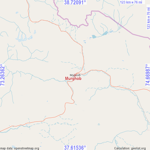
Murghob GPS coordinates[2]
38° 10' 12.828" North, 73° 58' 0.264" East
| Map corner | latitude | longitude |
|---|---|---|
| Upper-left | 38.72091°, | 73.26362° |
| Center: | 38.17023°, | 73.96674° |
| Lower-right: | 37.61536°, | 74.66987° |
| Map W x H: | 122.9×122.9 km | = 76.4×76.4mi |
| max Lat: | 40.99827° ⇑62.5% North |
| Murghob: | 38.17023° |
| min Lat: | ⇓37.5% South 36.72484° |
| min Long | Murghob | max Long |
| 67.60931° | 73.96674° | 73.96674° |
| W 100%⇐ | ⇒0% E |
Elevation
Elevation of Murghob is 3607 m = 11834 ft, and this is 2644.5 m = 8676 ft above average elevation for this country.
| Max E: |
3607 m = 11834 ft | 0% |
| Murghob | 3607 m 11834 ft | |
| Avg. | 962.5 m = 3158 ft | |
Min E: |
324 m = 1063 ft | 100% |
See also: Tajikistan elevation on elevation.city.
Geographical zone
Murghob is located in North temperate zone (between Tropic of Cancer and the Arctic Circle). Distance of this Northern Tropic circle is 1638.2 km =1017.9 mi to South.| Distance of | km | miles | from Murghob |
|---|---|---|---|
| North Pole | 5762.9 | 3580.9 | to North |
| Arctic Circle | 3157 | 1961.7 | to North |
| Tropic Cancer | 1638.2 | 1017.9 | to South |
| Equator | 4244.1 | 2637.2 | to South |


Nearby cities:
15 places around Murghob: (largest is in red/bold)
• Ishqoshim
262.6 km =163.2 mi,  232°
232°
• Jirghatol
267.6 km =166.3 mi,  295°
295°
• Karakenja
242.8 km =150.9 mi, 299°
• Khorugh
225.1 km =139.9 mi,  250°
250°
• Mŭ’minobod
344.1 km =213.8 mi,  268°
268°
• Novobod
344.5 km =214.1 mi,  285°
285°
• Qalaikhumb
279 km =173.4 mi,  276°
276°
• Rasht
326.4 km =202.8 mi, 287°
• Roshtqal’a
213.9 km =132.9 mi,  241°
241°
• Rŭshon
212.4 km =132 mi,  263°
263°
• Shŭrobod
345.2 km =214.5 mi, 263°
• Tajikobod
291.5 km =181.1 mi, 291°
• Tavildara
308.9 km =191.9 mi, 280°
• Vanj
220.4 km =137 mi, 275°
• Vorukh
347.2 km =215.7 mi, 302°
Sources, notices
• [Note1] Compared only with cities in Tajikistan existing in our database
• [Src1] Map data: © OpenStreetMap contributors (CC-BY-SA)
• [Src2] Other city data from geonames.org with taken over terms of usage.
• [Src3] Geographical zone / Annual Mean Temperature by Robert A. Rohde @ Wikipedia
