Seydi geodata
Seydi (Mary) is a populated place; located in Turkmenistan in Asia/Ashgabat (GMT+5) time zone. With population of 17,762 people, there are 21 cities with bigger population in this country. Compared to other cities in Turkmenistan, 70% of cities are located further ↓South; 83.3% of cities are located further ←West and 56.7% of cities have higher elevation than Seydi. Note1


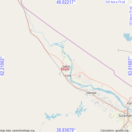
Seydi GPS coordinates[2]
39° 28' 53.76" North, 62° 54' 49.464" East
| Map corner | latitude | longitude |
|---|---|---|
| Upper-left | 40.02217°, | 62.21062° |
| Center: | 39.4816°, | 62.91374° |
| Lower-right: | 38.93679°, | 63.61687° |
| Map W x H: | 120.7×120.7 km | = 75×75mi |
| max Lat: | 42.32773° ⇑30% North |
| Seydi: | 39.4816° |
| min Lat: | ⇓70% South 35.27992° |
| min Long | Seydi | max Long |
| 52.95517° | 62.91374° | 66.04656° |
| W 83.3%⇐ | ⇒16.7% E |
Elevation
Elevation of Seydi is 175 m = 574 ft, and this is 21.4 m = 70 ft below average elevation for this country.
| Max E: |
649 m = 2129 ft | 56.7% |
| Avg. | 196.4 m = 644 ft | |
| Seydi | 175 m = 574 ft | |
Min E: |
5 m = 16 ft | 43.3% |
See also: Turkmenistan elevation on elevation.city.
Geographical zone
Seydi is located in North temperate zone (between Tropic of Cancer and the Arctic Circle). Distance of this Northern Tropic circle is 1784 km =1108.5 mi to South.| Distance of | km | miles | from Seydi |
|---|---|---|---|
| North Pole | 5617.1 | 3490.3 | to North |
| Arctic Circle | 3011.2 | 1871.1 | to North |
| Tropic Cancer | 1784 | 1108.5 | to South |
| Equator | 4389.9 | 2727.8 | to South |


Nearby cities:
14 places around Seydi: (largest is in red/bold)
• Atamyrat
270.6 km =168.1 mi,  132°
132°
• Bayramaly
217.1 km =134.9 mi,  197°
197°
• Daşoguz
361 km =224.3 mi,  316°
316°
• Farap
69.3 km =43.1 mi,  119°
119°
• Gazojak
228.8 km =142.2 mi,  325°
325°
• Gowurdak
329.3 km =204.6 mi, 124°
• Kaka
372.6 km =231.5 mi,  230°
230°
• Mary
230.1 km =143 mi, 204°
• Murgab
235.5 km =146.3 mi, 200°
• Saýat
113.9 km =70.8 mi, 132°
• Tagta
349.6 km =217.2 mi,  313°
313°
• Tejen
313.7 km =194.9 mi,  221°
221°
• Türkmenabat
73 km =45.4 mi, 128°
• Yolöten
247.5 km =153.8 mi,  191°
191°
Sources, notices
• [Note1] Compared only with cities in Turkmenistan existing in our database
• [Src1] Map data: © OpenStreetMap contributors (CC-BY-SA)
• [Src2] Other city data from geonames.org with taken over terms of usage.
• [Src3] Geographical zone / Annual Mean Temperature by Robert A. Rohde @ Wikipedia
