Tejen geodata
Tejen (Ahal) is a populated place; located in Turkmenistan in Asia/Ashgabat (GMT+5) time zone. With population of 67,294 people, there are 7 cities with bigger population in this country. Compared to other cities in Turkmenistan, 90% of cities are located further ↑North; 60% of cities are located further ←West and 53.3% of cities have higher elevation than Tejen. Note1


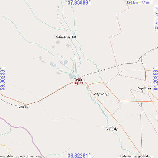
Tejen GPS coordinates[2]
37° 23' 0.168" North, 60° 30' 19.62" East
| Map corner | latitude | longitude |
|---|---|---|
| Upper-left | 37.93999°, | 59.80233° |
| Center: | 37.38338°, | 60.50545° |
| Lower-right: | 36.82261°, | 61.20858° |
| Map W x H: | 124.2×124.2 km | = 77.2×77.2mi |
| max Lat: | 42.32773° ⇑90% North |
| Tejen: | 37.38338° |
| min Lat: | ⇓10% South 35.27992° |
| min Long | Tejen | max Long |
| 52.95517° | 60.50545° | 66.04656° |
| W 60%⇐ | ⇒40% E |
Elevation
Elevation of Tejen is 190 m = 623 ft, and this is 6.4 m = 21 ft below average elevation for this country.
| Max E: |
649 m = 2129 ft | 53.3% |
| Avg. | 196.4 m = 644 ft | |
| Tejen | 190 m = 623 ft | |
Min E: |
5 m = 16 ft | 46.7% |
See also: Tejen elevation on elevation.city.
Geographical zone
Tejen is located in North temperate zone (between Tropic of Cancer and the Arctic Circle). Distance of this Northern Tropic circle is 1550.7 km =963.6 mi to South.| Distance of | km | miles | from Tejen |
|---|---|---|---|
| North Pole | 5850.4 | 3635.3 | to North |
| Arctic Circle | 3244.5 | 2016 | to North |
| Tropic Cancer | 1550.7 | 963.6 | to South |
| Equator | 4156.6 | 2582.8 | to South |


Nearby cities:
15 places around Tejen: (largest is in red/bold)
• Abadan
216.3 km =134.4 mi,  290°
290°
• Annau
183.9 km =114.3 mi, 287°
• Arçabil
220.7 km =137.1 mi, 285°
• Ashgabat
197.1 km =122.5 mi, 288°
• Baharly
294 km =182.7 mi, 293°
• Bayramaly
148.9 km =92.5 mi,  79°
79°
• Farap
336.1 km =208.8 mi,  53°
53°
• Kaka
78.8 km =49 mi,  267°
267°
• Mary
119.2 km =74.1 mi, 78°
• Murgab
130 km =80.8 mi, 84°
• Saýat
333.9 km =207.5 mi,  62°
62°
• Serhetabat
286 km =177.7 mi,  144°
144°
• Seydi
313.7 km =194.9 mi,  41°
41°
• Türkmenabat
327.6 km =203.6 mi, 55°
• Yolöten
164.2 km =102 mi,  93°
93°
Sources, notices
• [Note1] Compared only with cities in Turkmenistan existing in our database
• [Src1] Map data: © OpenStreetMap contributors (CC-BY-SA)
• [Src2] Other city data from geonames.org with taken over terms of usage.
• [Src3] Geographical zone / Annual Mean Temperature by Robert A. Rohde @ Wikipedia
