Murgab geodata
Murgab is a populated place; located in Turkmenistan in Asia/Ashgabat (GMT+5) time zone. With population of 13,199 people, there are 26 cities with bigger population in this country. Compared to other cities in Turkmenistan, 86.7% of cities are located further ↑North; 70% of cities are located further ←West and 66.7% of cities have lower elevation than Murgab. Note1


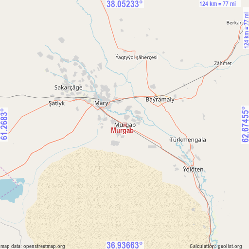
Murgab GPS coordinates[2]
37° 29' 47.616" North, 61° 58' 17.112" East
| Map corner | latitude | longitude |
|---|---|---|
| Upper-left | 38.05233°, | 61.2683° |
| Center: | 37.49656°, | 61.97142° |
| Lower-right: | 36.93663°, | 62.67455° |
| Map W x H: | 124.1×124.1 km | = 77.1×77.1mi |
| max Lat: | 42.32773° ⇑86.7% North |
| Murgab: | 37.49656° |
| min Lat: | ⇓13.3% South 35.27992° |
| min Long | Murgab | max Long |
| 52.95517° | 61.97142° | 66.04656° |
| W 70%⇐ | ⇒30% E |
Elevation
Elevation of Murgab is 228 m = 748 ft, and this is 31.6 m = 104 ft above average elevation for this country.
| Max E: |
649 m = 2129 ft | 33.3% |
| Murgab | 228 m 748 ft | |
| Avg. | 196.4 m = 644 ft | |
Min E: |
5 m = 16 ft | 66.7% |
See also: Turkmenistan elevation on elevation.city.
Geographical zone
Murgab is located in North temperate zone (between Tropic of Cancer and the Arctic Circle). Distance of this Northern Tropic circle is 1563.3 km =971.4 mi to South.| Distance of | km | miles | from Murgab |
|---|---|---|---|
| North Pole | 5837.8 | 3627.4 | to North |
| Arctic Circle | 3231.9 | 2008.2 | to North |
| Tropic Cancer | 1563.3 | 971.4 | to South |
| Equator | 4169.2 | 2590.6 | to South |


Nearby cities:
15 places around Murgab: (largest is in red/bold)
• Abadan
337.4 km =209.7 mi,  280°
280°
• Annau
307.1 km =190.8 mi, 278°
• Arçabil
344.6 km =214.1 mi, 277°
• Ashgabat
319.5 km =198.5 mi, 279°
• Atamyrat
287.6 km =178.7 mi,  82°
82°
• Bayramaly
21.9 km =13.6 mi,  51°
51°
• Farap
234.7 km =145.8 mi,  37°
37°
• Kaka
208.8 km =129.7 mi,  265°
265°
• Mary
16.5 km =10.3 mi,  310°
310°
• Saýat
219.9 km =136.6 mi, 49°
• Serhetabat
248.7 km =154.5 mi,  172°
172°
• Seydi
235.5 km =146.3 mi,  20°
20°
• Tejen
130 km =80.8 mi,  264°
264°
• Türkmenabat
224.5 km =139.5 mi, 38°
• Yolöten
40.7 km =25.3 mi,  122°
122°
Sources, notices
• [Note1] Compared only with cities in Turkmenistan existing in our database
• [Src1] Map data: © OpenStreetMap contributors (CC-BY-SA)
• [Src2] Other city data from geonames.org with taken over terms of usage.
• [Src3] Geographical zone / Annual Mean Temperature by Robert A. Rohde @ Wikipedia
