Remada geodata
Remada (Tataouine) is a populated place; located in Tunisia in Africa/Tunis (GMT+1) time zone. With population of 4,322 people, there are 124 cities with bigger population in this country. Compared to other cities in Tunisia, 100% of cities are located further ↑North; 59.4% of cities are located further ←West and 83.2% of cities have lower elevation than Remada. Note1


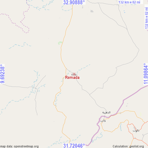
Remada GPS coordinates[2]
32° 18' 59.832" North, 10° 23' 43.836" East
| Map corner | latitude | longitude |
|---|---|---|
| Upper-left | 32.90888°, | 9.69238° |
| Center: | 32.31662°, | 10.39551° |
| Lower-right: | 31.72046°, | 11.09864° |
| Map W x H: | 132.1×132.1 km | = 82.1×82.1mi |
| max Lat: | 37.27442° ⇑100% North |
| Remada: | 32.31662° |
| min Lat: | ⇓0% South 32.31662° |
| min Long | Remada | max Long |
| 7.87765° | 10.39551° | 11.21965° |
| W 59.4%⇐ | ⇒40.6% E |
Elevation
Elevation of Remada is 301 m = 988 ft, and this is 151.6 m = 497 ft above average elevation for this country.
| Max E: |
999 m = 3278 ft | 16.8% |
| Remada | 301 m 988 ft | |
| Avg. | 149.4 m = 490 ft | |
Min E: |
-6 m = -20 ft | 83.2% |
See also: Tunisia elevation on elevation.city.
Geographical zone
Remada is located in North temperate zone (between Tropic of Cancer and the Arctic Circle). Distance of this Northern Tropic circle is 987.4 km =613.5 mi to South.| Distance of | km | miles | from Remada |
|---|---|---|---|
| North Pole | 6413.8 | 3985.3 | to North |
| Arctic Circle | 3807.9 | 2366.1 | to North |
| Tropic Cancer | 987.4 | 613.5 | to South |
| Equator | 3593.3 | 2232.8 | to South |


Nearby cities:
15 places around Remada: (largest is in red/bold)
• Ben Gardane
119.5 km =74.3 mi,  40°
40°
• Beni Kheddache
105.7 km =65.7 mi,  349°
349°
• Bou Attouche
184.9 km =114.9 mi,  342°
342°
• Douz
181.2 km =112.6 mi,  314°
314°
• El Golaa
183.5 km =114 mi,  315°
315°
• El Hamma
183.8 km =114.2 mi, 342°
• Erriadh
172.6 km =107.2 mi,  14°
14°
• Gabès
176.2 km =109.5 mi, 350°
• Houmt El Souk
178.6 km =111 mi, 13°
• Jemna
190.4 km =118.3 mi, 317°
• Matmata
142.1 km =88.3 mi, 343°
• Medenine
115.9 km =72 mi, 5°
• Midoun
174.9 km =108.7 mi,  18°
18°
• Tataouine
68.4 km =42.5 mi,  4°
4°
• Zarzis
148 km =92 mi,  26°
26°
Sources, notices
• [Note1] Compared only with cities in Tunisia existing in our database
• [Src1] Map data: © OpenStreetMap contributors (CC-BY-SA)
• [Src2] Other city data from geonames.org with taken over terms of usage.
• [Src3] Geographical zone / Annual Mean Temperature by Robert A. Rohde @ Wikipedia
