Medenine geodata
Medenine (Madanīn) is a seat of a first-order administrative division; located in Tunisia in Africa/Tunis (GMT+1) time zone. With population of 61,705 people, there are 20 cities with bigger population in this country. Compared to other cities in Tunisia, 97.2% of cities are located further ↑North; 61.5% of cities are located further ←West and 65% of cities have lower elevation than Medenine. Note1


Medenine GPS coordinates[2]
33° 21' 17.82" North, 10° 30' 19.728" East
| Map corner | latitude | longitude |
|---|---|---|
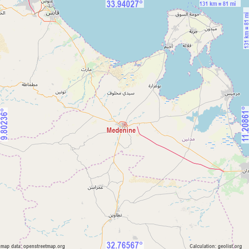
| Upper-left | 33.94027°, | 9.80236° |
| Center: | 33.35495°, | 10.50548° |
| Lower-right: | 32.76567°, | 11.20861° |
| Map W x H: | 130.6×130.6 km | = 81.2×81.2mi |
| max Lat: | 37.27442° ⇑97.2% North |
| Medenine: | 33.35495° |
| min Lat: | ⇓2.8% South 32.31662° |
| min Long | Medenine | max Long |
| 7.87765° | 10.50548° | 11.21965° |
| W 61.5%⇐ | ⇒38.5% E |
Elevation
Elevation of Medenine is 90 m = 295 ft, and this is 59.4 m = 195 ft below average elevation for this country.
| Max E: |
999 m = 3278 ft | 35% |
| Avg. | 149.4 m = 490 ft | |
| Medenine | 90 m = 295 ft | |
Min E: |
-6 m = -20 ft | 65% |
See also: Medenine elevation on elevation.city.
Geographical zone
Medenine is located in North temperate zone (between Tropic of Cancer and the Arctic Circle). Distance of this Northern Tropic circle is 1102.8 km =685.2 mi to South.| Distance of | km | miles | from Medenine |
|---|---|---|---|
| North Pole | 6298.3 | 3913.6 | to North |
| Arctic Circle | 3692.5 | 2294.4 | to North |
| Tropic Cancer | 1102.8 | 685.2 | to South |
| Equator | 3708.7 | 2304.5 | to South |


Nearby cities:
15 places around Medenine: (largest is in red/bold)
• Ben Gardane
70.7 km =43.9 mi,  109°
109°
• Beni Kheddache
30.7 km =19.1 mi,  248°
248°
• Bou Attouche
90.1 km =56 mi,  312°
312°
• Douz
138.4 km =86 mi,  275°
275°
• El Golaa
139.8 km =86.9 mi, 275°
• El Hamma
88.7 km =55.1 mi, 312°
• Erriadh
61 km =37.9 mi,  31°
31°
• Gabès
69.6 km =43.2 mi,  327°
327°
• Houmt El Souk
66.4 km =41.3 mi, 29°
• Matmata
53.8 km =33.4 mi,  293°
293°
• Midoun
67.6 km =42 mi,  41°
41°
• Remada
115.9 km =72 mi,  185°
185°
• Skhira
112.4 km =69.8 mi,  339°
339°
• Tataouine
47.6 km =29.6 mi, 186°
• Zarzis
58.7 km =36.5 mi,  73°
73°
Sources, notices
• [Note1] Compared only with cities in Tunisia existing in our database
• [Src1] Map data: © OpenStreetMap contributors (CC-BY-SA)
• [Src2] Other city data from geonames.org with taken over terms of usage.
• [Src3] Geographical zone / Annual Mean Temperature by Robert A. Rohde @ Wikipedia
