Ulukışla geodata
Ulukışla (Niğde) is a seat of a second-order administrative division; located in Turkey in Europe/Istanbul (GMT+3) time zone. In our database, there are 1323 cities with bigger population. Compared to other cities in Turkey, 73.6% of cities are located further ↑North; 56.6% of cities are located further →East and 89.1% of cities have lower elevation than Ulukışla. Note1


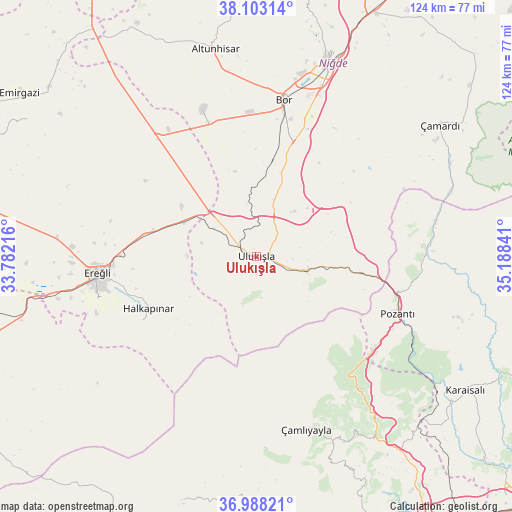
Ulukışla GPS coordinates[2]
37° 32' 51.936" North, 34° 29' 7.008" East
| Map corner | latitude | longitude |
|---|---|---|
| Upper-left | 38.10314°, | 33.78216° |
| Center: | 37.54776°, | 34.48528° |
| Lower-right: | 36.98821°, | 35.18841° |
| Map W x H: | 124×124 km | = 77.1×77.1mi |
| max Lat: | 42.02683° ⇑73.6% North |
| Ulukışla: | 37.54776° |
| min Lat: | ⇓26.4% South 35.9025° |
| min Long | Ulukışla | max Long |
| 25.90902° | 34.48528° | 44.60099° |
| W 43.4%⇐ | ⇒56.6% E |
Elevation
Elevation of Ulukışla is 1435 m = 4708 ft, and this is 717.6 m = 2354 ft above average elevation for this country.
| Max E: |
2682 m = 8799 ft | 10.9% |
| Ulukışla | 1435 m 4708 ft | |
| Avg. | 717.4 m = 2354 ft | |
Min E: |
0 m = 0 ft | 89.1% |
See also: Turkey elevation on elevation.city.
Geographical zone
Ulukışla is located in North temperate zone (between Tropic of Cancer and the Arctic Circle). Distance of this Northern Tropic circle is 1569 km =974.9 mi to South.| Distance of | km | miles | from Ulukışla |
|---|---|---|---|
| North Pole | 5832.1 | 3623.9 | to North |
| Arctic Circle | 3226.3 | 2004.7 | to North |
| Tropic Cancer | 1569 | 974.9 | to South |
| Equator | 4174.9 | 2594.2 | to South |


Nearby cities:
15 places around Ulukışla: (largest is in red/bold)
• Altunhisar
50.3 km =31.3 mi,  348°
348°
• Arslanköy
61.4 km =38.2 mi,  196°
196°
• Beyviran
64.5 km =40.1 mi,  301°
301°
• Bor
38.7 km =24 mi,  9°
9°
• Ereğli
38.9 km =24.2 mi,  264°
264°
• Gözne
61.9 km =38.5 mi,  172°
172°
• Halkapınar
29.2 km =18.1 mi,  244°
244°
• Kamışlı
40.7 km =25.3 mi,  88°
88°
• Karaisalı
60.1 km =37.3 mi,  122°
122°
• Kemerhisar
31.6 km =19.6 mi, 13°
• Niğde
49.5 km =30.8 mi,  20°
20°
• Pozantı
36.6 km =22.7 mi,  111°
111°
• Çamardı
53.9 km =33.5 mi,  54°
54°
• Çamlıyayla
43.4 km =27 mi, 167°
• Çiftehan
25.4 km =15.8 mi,  98°
98°
Sources, notices
• [Note1] Compared only with cities in Turkey existing in our database
• [Src1] Map data: © OpenStreetMap contributors (CC-BY-SA)
• [Src2] Other city data from geonames.org with taken over terms of usage.
• [Src3] Geographical zone / Annual Mean Temperature by Robert A. Rohde @ Wikipedia
