Bozyazı geodata
Bozyazı (Mersin) is a populated place; located in Turkey in Europe/Istanbul (GMT+3) time zone. With population of 28,456 people, there are 264 cities with bigger population in this country. Compared to other cities in Turkey, 99.5% of cities are located further ↑North; 62.2% of cities are located further →East and 98.8% of cities have higher elevation than Bozyazı. Note1


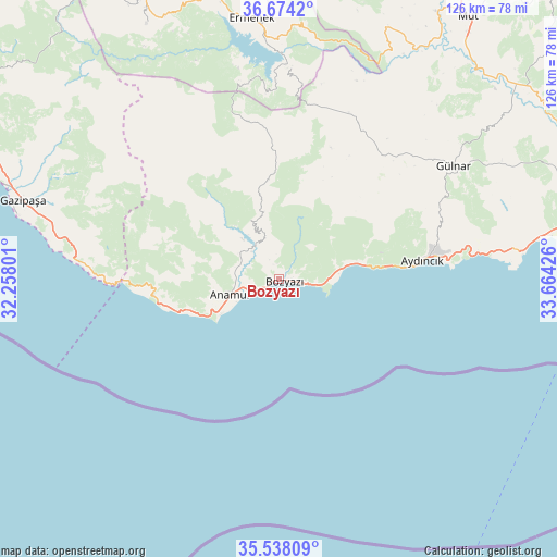
Bozyazı GPS coordinates[2]
36° 6' 29.52" North, 32° 57' 40.068" East
| Map corner | latitude | longitude |
|---|---|---|
| Upper-left | 36.6742°, | 32.25801° |
| Center: | 36.1082°, | 32.96113° |
| Lower-right: | 35.53809°, | 33.66426° |
| Map W x H: | 126.3×126.3 km | = 78.5×78.5mi |
| max Lat: | 42.02683° ⇑99.5% North |
| Bozyazı: | 36.1082° |
| min Lat: | ⇓0.5% South 35.9025° |
| min Long | Bozyazı | max Long |
| 25.90902° | 32.96113° | 44.60099° |
| W 37.8%⇐ | ⇒62.2% E |
Elevation
Elevation of Bozyazı is 7 m = 23 ft, and this is 710.4 m = 2331 ft below average elevation for this country.
| Max E: |
2682 m = 8799 ft | 98.8% |
| Avg. | 717.4 m = 2354 ft | |
| Bozyazı | 7 m = 23 ft | |
Min E: |
0 m = 0 ft | 1.2% |
See also: Turkey elevation on elevation.city.
Geographical zone
Bozyazı is located in North temperate zone (between Tropic of Cancer and the Arctic Circle). Distance of this Northern Tropic circle is 1408.9 km =875.4 mi to South.| Distance of | km | miles | from Bozyazı |
|---|---|---|---|
| North Pole | 5992.2 | 3723.4 | to North |
| Arctic Circle | 3386.3 | 2104.1 | to North |
| Tropic Cancer | 1408.9 | 875.4 | to South |
| Equator | 4014.9 | 2494.7 | to South |


Nearby cities:
15 places around Bozyazı: (largest is in red/bold)
• Akdere
72.4 km =45 mi,  78°
78°
• Anamur
11.8 km =7.3 mi,  251°
251°
• Aydıncık
32.5 km =20.2 mi, 83°
• Başyayla
76 km =47.2 mi,  340°
340°
• Demirtaş
77.4 km =48.1 mi,  297°
297°
• Ermenek
59.5 km =37 mi,  354°
354°
• Gazipaşa
60.4 km =37.5 mi,  287°
287°
• Göktepe
65.1 km =40.5 mi,  332°
332°
• Gülnar
47.1 km =29.3 mi,  56°
56°
• Kazancı
44.7 km =27.8 mi, 348°
• Mut
73.3 km =45.5 mi,  35°
35°
• Ovacık
53.9 km =33.5 mi, 82°
• Sarıkavak
80.6 km =50.1 mi,  49°
49°
• Sarıveliler
72.5 km =45 mi, 334°
• Tepebaşı
65.6 km =40.8 mi, 340°
Sources, notices
• [Note1] Compared only with cities in Turkey existing in our database
• [Src1] Map data: © OpenStreetMap contributors (CC-BY-SA)
• [Src2] Other city data from geonames.org with taken over terms of usage.
• [Src3] Geographical zone / Annual Mean Temperature by Robert A. Rohde @ Wikipedia
