Anamur geodata
Anamur (Mersin) is a seat of a second-order administrative division; located in Turkey in Europe/Istanbul (GMT+3) time zone. With population of 57,128 people, there are 152 cities with bigger population in this country. Compared to other cities in Turkey, 99.6% of cities are located further ↑North; 62.9% of cities are located further →East and 92.2% of cities have higher elevation than Anamur. Note1


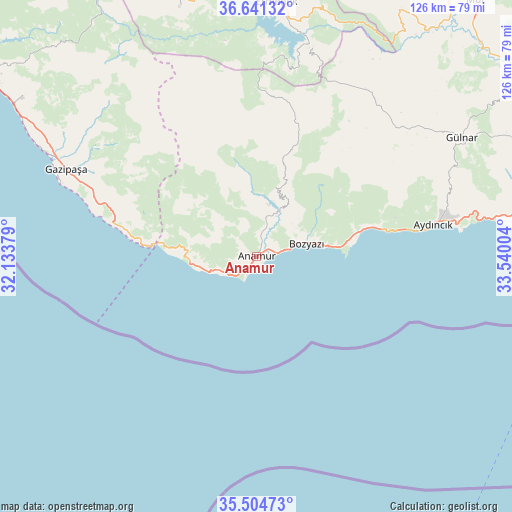
Anamur GPS coordinates[2]
36° 4' 30.288" North, 32° 50' 12.876" East
| Map corner | latitude | longitude |
|---|---|---|
| Upper-left | 36.64132°, | 32.13379° |
| Center: | 36.07508°, | 32.83691° |
| Lower-right: | 35.50473°, | 33.54004° |
| Map W x H: | 126.4×126.4 km | = 78.5×78.5mi |
| max Lat: | 42.02683° ⇑99.6% North |
| Anamur: | 36.07508° |
| min Lat: | ⇓0.4% South 35.9025° |
| min Long | Anamur | max Long |
| 25.90902° | 32.83691° | 44.60099° |
| W 37.1%⇐ | ⇒62.9% E |
Elevation
Elevation of Anamur is 28 m = 92 ft, and this is 689.4 m = 2262 ft below average elevation for this country.
| Max E: |
2682 m = 8799 ft | 92.2% |
| Avg. | 717.4 m = 2354 ft | |
| Anamur | 28 m = 92 ft | |
Min E: |
0 m = 0 ft | 7.8% |
See also: Anamur elevation on elevation.city.
Geographical zone
Anamur is located in North temperate zone (between Tropic of Cancer and the Arctic Circle). Distance of this Northern Tropic circle is 1405.3 km =873.2 mi to South.| Distance of | km | miles | from Anamur |
|---|---|---|---|
| North Pole | 5995.9 | 3725.7 | to North |
| Arctic Circle | 3390 | 2106.4 | to North |
| Tropic Cancer | 1405.3 | 873.2 | to South |
| Equator | 4011.2 | 2492.4 | to South |


Nearby cities:
15 places around Anamur: (largest is in red/bold)
• Akdere
84.1 km =52.3 mi,  77°
77°
• Aydıncık
44.1 km =27.4 mi, 80°
• Başyayla
76.7 km =47.7 mi,  349°
349°
• Bozyazı
11.8 km =7.3 mi,  71°
71°
• Demirtaş
69.7 km =43.3 mi,  304°
304°
• Ermenek
63.1 km =39.2 mi,  4°
4°
• Gazipaşa
51.4 km =31.9 mi,  294°
294°
• Göktepe
64.3 km =40 mi,  342°
342°
• Gülnar
58.5 km =36.4 mi,  59°
59°
• Kazancı
47.5 km =29.5 mi, 2°
• Mahmutlar
81.5 km =50.6 mi, 304°
• Mut
83.1 km =51.6 mi,  40°
40°
• Ovacık
65.4 km =40.6 mi, 80°
• Sarıveliler
72 km =44.7 mi, 343°
• Tepebaşı
66.5 km =41.3 mi, 351°
Sources, notices
• [Note1] Compared only with cities in Turkey existing in our database
• [Src1] Map data: © OpenStreetMap contributors (CC-BY-SA)
• [Src2] Other city data from geonames.org with taken over terms of usage.
• [Src3] Geographical zone / Annual Mean Temperature by Robert A. Rohde @ Wikipedia
