Aydıncık geodata
Aydıncık (Mersin) is a populated place; located in Turkey in Europe/Istanbul (GMT+3) time zone. With population of 8,385 people, there are 560 cities with bigger population in this country. Compared to other cities in Turkey, 99.2% of cities are located further ↑North; 61.1% of cities are located further →East and 92% of cities have higher elevation than Aydıncık. Note1


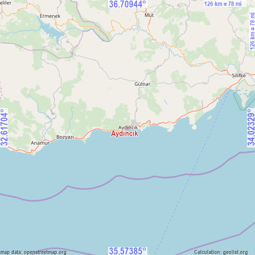
Aydıncık GPS coordinates[2]
36° 8' 37.32" North, 33° 19' 12.576" East
| Map corner | latitude | longitude |
|---|---|---|
| Upper-left | 36.70944°, | 32.61704° |
| Center: | 36.1437°, | 33.32016° |
| Lower-right: | 35.57385°, | 34.02329° |
| Map W x H: | 126.3×126.3 km | = 78.5×78.5mi |
| max Lat: | 42.02683° ⇑99.2% North |
| Aydıncık: | 36.1437° |
| min Lat: | ⇓0.8% South 35.9025° |
| min Long | Aydıncık | max Long |
| 25.90902° | 33.32016° | 44.60099° |
| W 38.9%⇐ | ⇒61.1% E |
Elevation
Elevation of Aydıncık is 29 m = 95 ft, and this is 688.4 m = 2259 ft below average elevation for this country.
| Max E: |
2682 m = 8799 ft | 92% |
| Avg. | 717.4 m = 2354 ft | |
| Aydıncık | 29 m = 95 ft | |
Min E: |
0 m = 0 ft | 8% |
See also: Turkey elevation on elevation.city.
Geographical zone
Aydıncık is located in North temperate zone (between Tropic of Cancer and the Arctic Circle). Distance of this Northern Tropic circle is 1412.9 km =877.9 mi to South.| Distance of | km | miles | from Aydıncık |
|---|---|---|---|
| North Pole | 5988.3 | 3721 | to North |
| Arctic Circle | 3382.4 | 2101.7 | to North |
| Tropic Cancer | 1412.9 | 877.9 | to South |
| Equator | 4018.8 | 2497.2 | to South |


Nearby cities:
15 places around Aydıncık: (largest is in red/bold)
• Akdere
40.1 km =24.9 mi,  74°
74°
• Anamur
44.1 km =27.4 mi,  260°
260°
• Bozyazı
32.5 km =20.2 mi, 263°
• Ermenek
67.2 km =41.8 mi,  325°
325°
• Göktepe
82.4 km =51.2 mi,  310°
310°
• Gülnar
23.1 km =14.4 mi,  17°
17°
• Kazancı
57.2 km =35.5 mi, 314°
• Kırobası
80.8 km =50.2 mi,  37°
37°
• Kızkalesi
81.7 km =50.8 mi,  64°
64°
• Mut
56.6 km =35.2 mi,  10°
10°
• Ovacık
21.4 km =13.3 mi,  81°
81°
• Sarıkavak
56.6 km =35.2 mi,  30°
30°
• Silifke
60.9 km =37.8 mi, 64°
• Taşucu
54.1 km =33.6 mi, 68°
• Tepebaşı
79 km =49.1 mi,  317°
317°
Sources, notices
• [Note1] Compared only with cities in Turkey existing in our database
• [Src1] Map data: © OpenStreetMap contributors (CC-BY-SA)
• [Src2] Other city data from geonames.org with taken over terms of usage.
• [Src3] Geographical zone / Annual Mean Temperature by Robert A. Rohde @ Wikipedia
