Inyonga geodata
Inyonga (Katavi) is a populated place; located in Tanzania in Africa/Dar_es_Salaam (GMT+3) time zone. With population of 11,790 people, there are 219 cities with bigger population in this country. Compared to other cities in Tanzania, 63.6% of cities are located further ↑North; 86% of cities are located further →East and 58.4% of cities have lower elevation than Inyonga. Note1


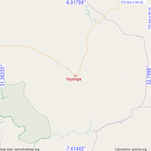
Inyonga GPS coordinates[2]
6° 43' 0.012" South, 32° 4' 0.012" East
| Map corner | latitude | longitude |
|---|---|---|
| Upper-left | -6.01789°, | 31.36355° |
| Center: | -6.71667°, | 32.06667° |
| Lower-right: | -7.41445°, | 32.7698° |
| Map W x H: | 155.3×155.3 km | = 96.5×96.5mi |
| max Lat: | -1.14389° ⇑63.6% North |
| Inyonga: | -6.71667° |
| min Lat: | ⇓36.4% South -11.36667° |
| min Long | Inyonga | max Long |
| 29.62667° | 32.06667° | 40.33333° |
| W 14%⇐ | ⇒86% E |
Elevation
Elevation of Inyonga is 1177 m = 3862 ft, and this is 234.2 m = 768 ft above average elevation for this country.
| Max E: |
2377 m = 7799 ft | 41.6% |
| Inyonga | 1177 m 3862 ft | |
| Avg. | 942.8 m = 3093 ft | |
Min E: |
0 m = 0 ft | 58.4% |
See also: Tanzania elevation on elevation.city.
Geographical zone
Inyonga is located in South Torrid zone (between Equator and Tropic of Capricorn). Distance of Equator is 746.8 km =464 mi to North.| Distance of | km | miles | from Inyonga |
|---|---|---|---|
| Equator | 746.8 | 464 | to North |
| Tropic Capricorn | 1859.1 | 1155.2 | to South |
| Antarctic Circle | 6654.4 | 4134.9 | to South |
| South Pole | 9260.2 | 5754 | to South |


Nearby cities:
15 places around Inyonga: (largest is in red/bold)
• Chala
130.7 km =81.2 mi,  222°
222°
• Kaliua
186.6 km =115.9 mi,  350°
350°
• Karema
180.1 km =111.9 mi,  266°
266°
• Kirando
179.6 km =111.6 mi,  244°
244°
• Mabama
183.5 km =114 mi,  16°
16°
• Matai
186.2 km =115.7 mi,  199°
199°
• Mpanda
117.7 km =73.1 mi,  290°
290°
• Namanyere
143.2 km =89 mi,  231°
231°
• Nkove
191.9 km =119.2 mi, 224°
• Sikonge
143.2 km =89 mi,  32°
32°
• Sumbawanga
147.6 km =91.7 mi, 199°
• Tumbi
197.7 km =122.8 mi, 21°
• Urambo
183.5 km =114 mi,  359°
359°
• Usevia
101.4 km =63 mi,  245°
245°
• Usoke
175.2 km =108.9 mi,  10°
10°
Sources, notices
• [Note1] Compared only with cities in Tanzania existing in our database
• [Src1] Map data: © OpenStreetMap contributors (CC-BY-SA)
• [Src2] Other city data from geonames.org with taken over terms of usage.
• [Src3] Geographical zone / Annual Mean Temperature by Robert A. Rohde @ Wikipedia
