Usevia geodata
Usevia (Katavi) is a populated place; located in Tanzania in Africa/Dar_es_Salaam (GMT+3) time zone. With population of 17,742 people, there are 155 cities with bigger population in this country. Compared to other cities in Tanzania, 67.5% of cities are located further ↑North; 93.4% of cities are located further →East and 60.1% of cities have higher elevation than Usevia. Note1


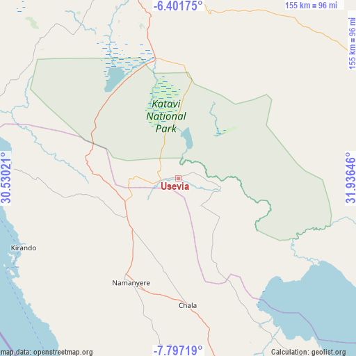
Usevia GPS coordinates[2]
7° 6' 0" South, 31° 13' 59.988" East
| Map corner | latitude | longitude |
|---|---|---|
| Upper-left | -6.40175°, | 30.53021° |
| Center: | -7.1°, | 31.23333° |
| Lower-right: | -7.79719°, | 31.93646° |
| Map W x H: | 155.2×155.2 km | = 96.4×96.4mi |
| max Lat: | -1.14389° ⇑67.5% North |
| Usevia: | -7.1° |
| min Lat: | ⇓32.5% South -11.36667° |
| min Long | Usevia | max Long |
| 29.62667° | 31.23333° | 40.33333° |
| W 6.6%⇐ | ⇒93.4% E |
Elevation
Elevation of Usevia is 928 m = 3045 ft, and this is 14.8 m = 49 ft below average elevation for this country.
| Max E: |
2377 m = 7799 ft | 60.1% |
| Avg. | 942.8 m = 3093 ft | |
| Usevia | 928 m = 3045 ft | |
Min E: |
0 m = 0 ft | 39.9% |
See also: Tanzania elevation on elevation.city.
Geographical zone
Usevia is located in South Torrid zone (between Equator and Tropic of Capricorn). Distance of Equator is 789.4 km =490.5 mi to North.| Distance of | km | miles | from Usevia |
|---|---|---|---|
| Equator | 789.4 | 490.5 | to North |
| Tropic Capricorn | 1816.5 | 1128.7 | to South |
| Antarctic Circle | 6611.7 | 4108.3 | to South |
| South Pole | 9217.6 | 5727.5 | to South |


Nearby cities:
15 places around Usevia: (largest is in red/bold)
• Chala
53.9 km =33.5 mi,  176°
176°
• Inyonga
101.4 km =63 mi,  65°
65°
• Kaliua
235.1 km =146.1 mi,  15°
15°
• Karema
93 km =57.8 mi,  289°
289°
• Kirando
78.2 km =48.6 mi,  243°
243°
• Laela
186.2 km =115.7 mi,  151°
151°
• Matai
137 km =85.1 mi,  166°
166°
• Mpanda
86 km =53.4 mi,  347°
347°
• Namanyere
50.5 km =31.4 mi,  203°
203°
• Nguruka
222.4 km =138.2 mi, 354°
• Nkove
103.5 km =64.3 mi, 204°
• Sikonge
235.2 km =146.1 mi,  46°
46°
• Sumbawanga
105.2 km =65.4 mi,  156°
156°
• Urambo
243.4 km =151.2 mi, 21°
• Uvinza
240.7 km =149.6 mi,  337°
337°
Sources, notices
• [Note1] Compared only with cities in Tanzania existing in our database
• [Src1] Map data: © OpenStreetMap contributors (CC-BY-SA)
• [Src2] Other city data from geonames.org with taken over terms of usage.
• [Src3] Geographical zone / Annual Mean Temperature by Robert A. Rohde @ Wikipedia
