Namanyere geodata
Namanyere (Rukwa) is a populated place; located in Tanzania in Africa/Dar_es_Salaam (GMT+3) time zone. With population of 28,218 people, there are 69 cities with bigger population in this country. Compared to other cities in Tanzania, 70.3% of cities are located further ↑North; 94.8% of cities are located further →East and 85.3% of cities have lower elevation than Namanyere. Note1


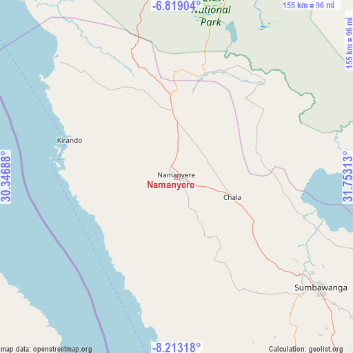
Namanyere GPS coordinates[2]
7° 31' 0.012" South, 31° 3' 0" East
| Map corner | latitude | longitude |
|---|---|---|
| Upper-left | -6.81904°, | 30.34688° |
| Center: | -7.51667°, | 31.05° |
| Lower-right: | -8.21318°, | 31.75313° |
| Map W x H: | 155×155 km | = 96.3×96.3mi |
| max Lat: | -1.14389° ⇑70.3% North |
| Namanyere: | -7.51667° |
| min Lat: | ⇓29.7% South -11.36667° |
| min Long | Namanyere | max Long |
| 29.62667° | 31.05° | 40.33333° |
| W 5.2%⇐ | ⇒94.8% E |
Elevation
Elevation of Namanyere is 1531 m = 5023 ft, and this is 588.2 m = 1930 ft above average elevation for this country.
| Max E: |
2377 m = 7799 ft | 14.7% |
| Namanyere | 1531 m 5023 ft | |
| Avg. | 942.8 m = 3093 ft | |
Min E: |
0 m = 0 ft | 85.3% |
See also: Tanzania elevation on elevation.city.
Geographical zone
Namanyere is located in South Torrid zone (between Equator and Tropic of Capricorn). Distance of Equator is 835.8 km =519.3 mi to North.| Distance of | km | miles | from Namanyere |
|---|---|---|---|
| Equator | 835.8 | 519.3 | to North |
| Tropic Capricorn | 1770.1 | 1099.9 | to South |
| Antarctic Circle | 6565.4 | 4079.5 | to South |
| South Pole | 9171.3 | 5698.8 | to South |


Nearby cities:
15 places around Namanyere: (largest is in red/bold)
• Chala
25 km =15.5 mi,  107°
107°
• Inyonga
143.2 km =89 mi,  51°
51°
• Karema
102.6 km =63.8 mi,  318°
318°
• Kirando
50.8 km =31.6 mi,  282°
282°
• Laela
160.5 km =99.7 mi,  136°
136°
• Matai
101.1 km =62.8 mi,  149°
149°
• Mlowo
269.2 km =167.3 mi,  127°
127°
• Mpanda
130.4 km =81 mi,  0°
0°
• Nguruka
267.7 km =166.3 mi,  359°
359°
• Nkove
53 km =32.9 mi,  204°
204°
• Sumbawanga
80 km =49.7 mi, 128°
• Tunduma
273.8 km =170.1 mi, 136°
• Usevia
50.5 km =31.4 mi,  23°
23°
• Uvinza
278 km =172.7 mi,  344°
344°
• Vwawa
272.6 km =169.4 mi, 130°
Sources, notices
• [Note1] Compared only with cities in Tanzania existing in our database
• [Src1] Map data: © OpenStreetMap contributors (CC-BY-SA)
• [Src2] Other city data from geonames.org with taken over terms of usage.
• [Src3] Geographical zone / Annual Mean Temperature by Robert A. Rohde @ Wikipedia
