Matai geodata
Matai (Rukwa) is a populated place; located in Tanzania in Africa/Dar_es_Salaam (GMT+3) time zone. With population of 24,070 people, there are 93 cities with bigger population in this country. Compared to other cities in Tanzania, 75.9% of cities are located further ↑North; 91.3% of cities are located further →East and 95.1% of cities have lower elevation than Matai. Note1


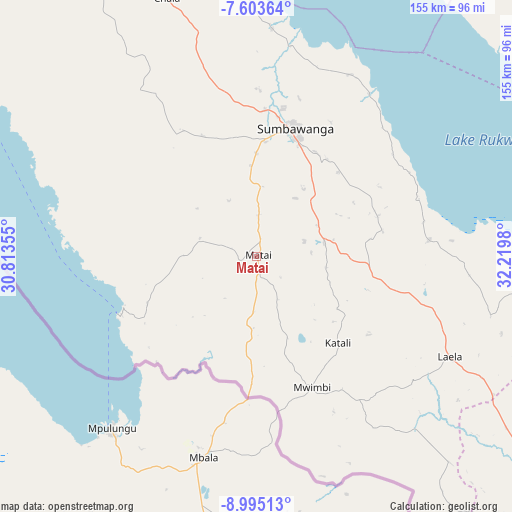
Matai GPS coordinates[2]
8° 18' 0" South, 31° 31' 0.012" East
| Map corner | latitude | longitude |
|---|---|---|
| Upper-left | -7.60364°, | 30.81355° |
| Center: | -8.3°, | 31.51667° |
| Lower-right: | -8.99513°, | 32.2198° |
| Map W x H: | 154.7×154.7 km | = 96.1×96.1mi |
| max Lat: | -1.14389° ⇑75.9% North |
| Matai: | -8.3° |
| min Lat: | ⇓24.1% South -11.36667° |
| min Long | Matai | max Long |
| 29.62667° | 31.51667° | 40.33333° |
| W 8.7%⇐ | ⇒91.3% E |
Elevation
Elevation of Matai is 1706 m = 5597 ft, and this is 763.2 m = 2504 ft above average elevation for this country.
| Max E: |
2377 m = 7799 ft | 4.9% |
| Matai | 1706 m 5597 ft | |
| Avg. | 942.8 m = 3093 ft | |
Min E: |
0 m = 0 ft | 95.1% |
See also: Tanzania elevation on elevation.city.
Geographical zone
Matai is located in South Torrid zone (between Equator and Tropic of Capricorn). Distance of Equator is 922.9 km =573.5 mi to North.| Distance of | km | miles | from Matai |
|---|---|---|---|
| Equator | 922.9 | 573.5 | to North |
| Tropic Capricorn | 1683 | 1045.8 | to South |
| Antarctic Circle | 6478.3 | 4025.4 | to South |
| South Pole | 9084.2 | 5644.7 | to South |


Nearby cities:
15 places around Matai: (largest is in red/bold)
• Chala
84.3 km =52.4 mi,  340°
340°
• Inyonga
186.2 km =115.7 mi,  19°
19°
• Itumba
220.2 km =136.8 mi,  123°
123°
• Karema
202.9 km =126.1 mi,  324°
324°
• Kirando
140.9 km =87.6 mi,  314°
314°
• Laela
65.7 km =40.8 mi, 116°
• Mbeya
222.8 km =138.4 mi,  107°
107°
• Mlowo
179 km =111.2 mi, 115°
• Mpanda
223 km =138.6 mi,  347°
347°
• Namanyere
101.1 km =62.8 mi,  329°
329°
• Nkove
83.1 km =51.6 mi,  297°
297°
• Sumbawanga
38.7 km =24 mi, 16°
• Tunduma
176.7 km =109.8 mi,  128°
128°
• Usevia
137 km =85.1 mi, 346°
• Vwawa
179.9 km =111.8 mi, 119°
Sources, notices
• [Note1] Compared only with cities in Tanzania existing in our database
• [Src1] Map data: © OpenStreetMap contributors (CC-BY-SA)
• [Src2] Other city data from geonames.org with taken over terms of usage.
• [Src3] Geographical zone / Annual Mean Temperature by Robert A. Rohde @ Wikipedia
