Peschana geodata
Peschana (Odesa) is a populated place; located in Ukraine in Europe/Kiev (GMT+3) time zone. With population of 3,094 people, there are 914 cities with bigger population in this country. Compared to other cities in Ukraine, 54% of cities are located further ↑North; 69.1% of cities are located further →East and 57.4% of cities have higher elevation than Peschana. Note1


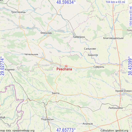
Peschana GPS coordinates[2]
48° 7' 45.048" North, 29° 43' 51.096" East
| Map corner | latitude | longitude |
|---|---|---|
| Upper-left | 48.59634°, | 29.02774° |
| Center: | 48.12918°, | 29.73086° |
| Lower-right: | 47.65773°, | 30.43399° |
| Map W x H: | 104.4×104.4 km | = 64.9×64.9mi |
| max Lat: | 52.18903° ⇑54% North |
| Peschana: | 48.12918° |
| min Lat: | ⇓46% South 44.39214° |
| min Long | Peschana | max Long |
| 22.20555° | 29.73086° | 40.13222° |
| W 30.9%⇐ | ⇒69.1% E |
Elevation
Elevation of Peschana is 114 m = 374 ft, and this is 41.8 m = 137 ft below average elevation for this country.
| Max E: |
886 m = 2907 ft | 57.4% |
| Avg. | 155.8 m = 511 ft | |
| Peschana | 114 m = 374 ft | |
Min E: |
-3 m = -10 ft | 42.6% |
See also: Ukraine elevation on elevation.city.
Geographical zone
Peschana is located in North temperate zone (between Tropic of Cancer and the Arctic Circle). Distance of this North polar circle is 2049.7 km =1273.6 mi to North.| Distance of | km | miles | from Peschana |
|---|---|---|---|
| North Pole | 4655.6 | 2892.9 | to North |
| Arctic Circle | 2049.7 | 1273.6 | to North |
| Tropic Cancer | 2745.5 | 1706 | to South |
| Equator | 5351.5 | 3325.3 | to South |


Nearby cities:
15 places around Peschana: (largest is in red/bold)
• Ananyiv Pershyi
48.1 km =29.9 mi,  160°
160°
• Balta
23.1 km =14.4 mi,  200°
200°
• Bershad
30.9 km =19.2 mi,  329°
329°
• Blahovishchens’ke
43.1 km =26.8 mi,  58°
58°
• Chechelnyk
28.6 km =17.8 mi,  289°
289°
• Hayvoron
25.5 km =15.8 mi,  23°
23°
• Kodyma
45.1 km =28 mi,  265°
265°
• Kryve Ozero
50 km =31.1 mi,  113°
113°
• Obodivka
47.1 km =29.3 mi,  310°
310°
• Podil’s’k
44.4 km =27.6 mi, 199°
• Savran
26.1 km =16.2 mi,  89°
89°
• Slobidka
39.3 km =24.4 mi,  226°
226°
• Torkanivka
48.4 km =30.1 mi,  296°
296°
• Viytivka
35.8 km =22.2 mi,  337°
337°
• Zavallya
23.1 km =14.4 mi,  66°
66°
Sources, notices
• [Note1] Compared only with cities in Ukraine existing in our database
• [Src1] Map data: © OpenStreetMap contributors (CC-BY-SA)
• [Src2] Other city data from geonames.org with taken over terms of usage.
• [Src3] Geographical zone / Annual Mean Temperature by Robert A. Rohde @ Wikipedia
