Mezenivka geodata
Mezenivka (Sumy) is a populated place; located in Ukraine in Europe/Kiev (GMT+3) time zone. With population of 1,273 people, there are 1273 cities with bigger population in this country. Compared to other cities in Ukraine, 92.8% of cities are located further ↓South; 83.4% of cities are located further ←West and 50.9% of cities have lower elevation than Mezenivka. Note1


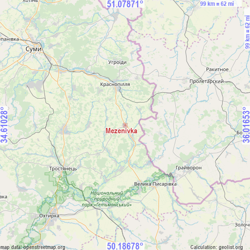
Mezenivka GPS coordinates[2]
50° 38' 5.496" North, 35° 18' 48.24" East
| Map corner | latitude | longitude |
|---|---|---|
| Upper-left | 51.07871°, | 34.61028° |
| Center: | 50.63486°, | 35.3134° |
| Lower-right: | 50.18678°, | 36.01653° |
| Map W x H: | 99.2×99.2 km | = 61.6×61.6mi |
| max Lat: | 52.18903° ⇑7.2% North |
| Mezenivka: | 50.63486° |
| min Lat: | ⇓92.8% South 44.39214° |
| min Long | Mezenivka | max Long |
| 22.20555° | 35.3134° | 40.13222° |
| W 83.4%⇐ | ⇒16.6% E |
Elevation
Elevation of Mezenivka is 139 m = 456 ft, and this is 16.8 m = 55 ft below average elevation for this country.
| Max E: |
886 m = 2907 ft | 49.1% |
| Avg. | 155.8 m = 511 ft | |
| Mezenivka | 139 m = 456 ft | |
Min E: |
-3 m = -10 ft | 50.9% |
See also: Ukraine elevation on elevation.city.
Geographical zone
Mezenivka is located in North temperate zone (between Tropic of Cancer and the Arctic Circle). Distance of this North polar circle is 1771.1 km =1100.5 mi to North.| Distance of | km | miles | from Mezenivka |
|---|---|---|---|
| North Pole | 4377 | 2719.7 | to North |
| Arctic Circle | 1771.1 | 1100.5 | to North |
| Tropic Cancer | 3024.1 | 1879.1 | to South |
| Equator | 5630.1 | 3498.4 | to South |


Nearby cities:
15 places around Mezenivka: (largest is in red/bold)
• Bohodukhiv
54.4 km =33.8 mi,  163°
163°
• Boromlya
24.3 km =15.1 mi,  265°
265°
• Huty
55.8 km =34.7 mi,  177°
177°
• Kotel’va
74.2 km =46.1 mi,  212°
212°
• Krasnokuts’k
64.1 km =39.8 mi,  189°
189°
• Krasnopillya
16 km =9.9 mi,  346°
346°
• Kyrykivka
33.2 km =20.6 mi,  204°
204°
• Lebedyn
58.7 km =36.5 mi,  264°
264°
• Nyzy
40.7 km =25.3 mi,  293°
293°
• Okhtyrka
46.5 km =28.9 mi,  219°
219°
• Sumy
48.1 km =29.9 mi,  311°
311°
• Trostyanets’
29.7 km =18.5 mi,  235°
235°
• Velyka Pysarivka
26.2 km =16.3 mi,  153°
153°
• Verkhnya Syrovatka
33 km =20.5 mi, 310°
• Zolochiv
61.6 km =38.3 mi,  129°
129°
Sources, notices
• [Note1] Compared only with cities in Ukraine existing in our database
• [Src1] Map data: © OpenStreetMap contributors (CC-BY-SA)
• [Src2] Other city data from geonames.org with taken over terms of usage.
• [Src3] Geographical zone / Annual Mean Temperature by Robert A. Rohde @ Wikipedia
