Yumbe geodata
Yumbe (Northern Region) is a seat of a second-order administrative division; located in Uganda in Africa/Kampala (GMT+3) time zone. With population of 24,300 people, there are 32 cities with bigger population in this country. Compared to other cities in Uganda, 97.9% of cities are located further ↓South; 72.6% of cities are located further →East and 95.2% of cities have higher elevation than Yumbe. Note1
Administrative division(s):
- Level 1: Northern Region
- Level 2: Yumbe District
- Level 3: Aringa County
- Level 4: Yumbe Town Council


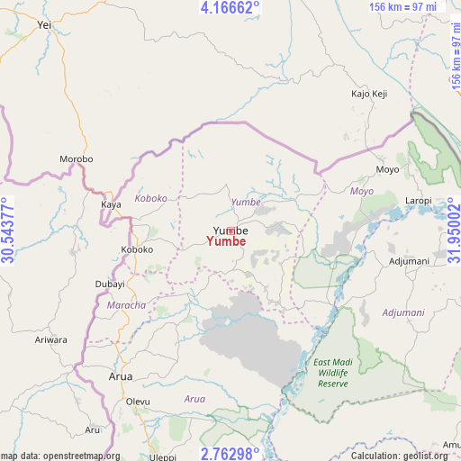
Yumbe GPS coordinates[2]
3° 27' 54.216" North, 31° 14' 48.804" East
| Map corner | latitude | longitude |
|---|---|---|
| Upper-left | 4.16662°, | 30.54377° |
| Center: | 3.46506°, | 31.24689° |
| Lower-right: | 2.76298°, | 31.95002° |
| Map W x H: | 156.1×156.1 km | = 97×97mi |
| max Lat: | 3.66088° ⇑2.1% North |
| Yumbe: | 3.46506° |
| min Lat: | ⇓97.9% South -1.28538° |
| min Long | Yumbe | max Long |
| 29.65° | 31.24689° | 34.95° |
| W 27.4%⇐ | ⇒72.6% E |
Elevation
Elevation of Yumbe is 982 m = 3222 ft, and this is 277 m = 909 ft below average elevation for this country.
| Max E: |
4129 m = 13547 ft | 95.2% |
| Avg. | 1259 m = 4131 ft | |
| Yumbe | 982 m = 3222 ft | |
Min E: |
622 m = 2041 ft | 4.8% |
See also: Uganda elevation on elevation.city.
Geographical zone
Yumbe is located in North Torrid zone (between Equator and Tropic of Cancer). Distance of Equator is 385.3 km =239.4 mi to South.| Distance of | km | miles | from Yumbe |
|---|---|---|---|
| North Pole | 9621.8 | 5978.7 | to North |
| Arctic Circle | 7015.9 | 4359.5 | to North |
| Tropic Cancer | 2220.6 | 1379.8 | to North |
| Equator | 385.3 | 239.4 | to South |


Nearby cities:
15 places around Yumbe: (largest is in red/bold)
• Adjumani
61.2 km =38 mi,  99°
99°
• Amuru
105.6 km =65.6 mi,  133°
133°
• Arua
61.9 km =38.5 mi,  217°
217°
• Bulisa
150.9 km =93.8 mi,  173°
173°
• Gulu
139.8 km =86.9 mi,  123°
123°
• Kitgum
183.2 km =113.8 mi, 96°
• Koboko
32.4 km =20.1 mi,  259°
259°
• Lamwo
172.7 km =107.3 mi,  87°
87°
• Maracha
38.9 km =24.2 mi,  236°
236°
• Moyo
57.3 km =35.6 mi,  67°
67°
• Nebbi
111.1 km =69 mi,  189°
189°
• Nwoya
124.7 km =77.5 mi,  137°
137°
• Oyam
186.2 km =115.7 mi, 137°
• Paidha
120.1 km =74.6 mi, 193°
• Zombo
112.3 km =69.8 mi,  199°
199°
Sources, notices
• [Note1] Compared only with cities in Uganda existing in our database
• [Src1] Map data: © OpenStreetMap contributors (CC-BY-SA)
• [Src2] Other city data from geonames.org with taken over terms of usage.
• [Src3] Geographical zone / Annual Mean Temperature by Robert A. Rohde @ Wikipedia
