Greenville geodata
Greenville (Alabama) is a seat of a second-order administrative division; located in United States in America/Chicago (GMT-5) time zone. With population of 7,845 people, there are 5362 cities with bigger population in this country. Compared to other cities in United States, 88.9% of cities are located further ↑North; 51.2% of cities are located further ←West and 63.7% of cities have higher elevation than Greenville. Note1


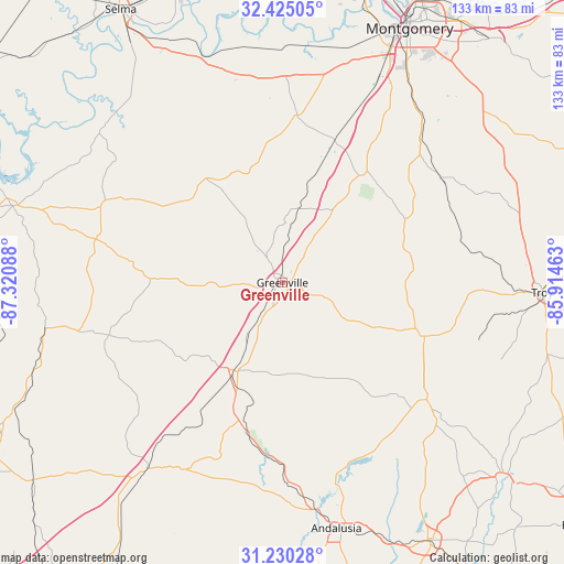
Greenville GPS coordinates[2]
31° 49' 46.56" North, 86° 37' 3.9" West
| Map corner | latitude | longitude |
|---|---|---|
| Upper-left | 32.42505°, | -87.32088° |
| Center: | 31.8296°, | -86.61775° |
| Lower-right: | 31.23028°, | -85.91463° |
| Map W x H: | 132.8×132.8 km | = 82.5×82.5mi |
| max Lat: | 71.29058° ⇑88.9% North |
| Greenville: | 31.8296° |
| min Lat: | ⇓11.1% South 19.06759° |
| min Long | Greenville | max Long |
| -171.73463° | -86.61775° | -66.98998° |
| W 51.2%⇐ | ⇒48.8% E |
Elevation
Elevation of Greenville is 135 m = 443 ft, and this is 159.8 m = 524 ft below average elevation for this country.
| Max E: |
3189 m = 10463 ft | 63.7% |
| Avg. | 294.8 m = 967 ft | |
| Greenville | 135 m = 443 ft | |
Min E: |
-60 m = -197 ft | 36.3% |
See also: United States elevation on elevation.city.
Geographical zone
Greenville is located in North temperate zone (between Tropic of Cancer and the Arctic Circle). Distance of this Northern Tropic circle is 933.2 km =579.9 mi to South.| Distance of | km | miles | from Greenville |
|---|---|---|---|
| North Pole | 6467.9 | 4019 | to North |
| Arctic Circle | 3862.1 | 2399.8 | to North |
| Tropic Cancer | 933.2 | 579.9 | to South |
| Equator | 3539.1 | 2199.1 | to South |


Nearby cities:
15 places around Greenville: (largest is in red/bold)
• Andalusia
59.4 km =36.9 mi,  167°
167°
• Brantley
43.8 km =27.2 mi,  128°
128°
• Evergreen
54.5 km =33.9 mi,  216°
216°
• Fort Deposit
17.6 km =10.9 mi,  12°
12°
• Georgiana
24.4 km =15.2 mi,  208°
208°
• Hayneville
39.6 km =24.6 mi, 5°
• Joquin
43.1 km =26.8 mi,  96°
96°
• Luverne
35.7 km =22.2 mi,  110°
110°
• McKenzie
33.2 km =20.6 mi,  196°
196°
• Mosses
38.7 km =24 mi,  352°
352°
• Pisgah
50.7 km =31.5 mi,  68°
68°
• River Falls
53.5 km =33.2 mi, 172°
• Taylor
39.7 km =24.7 mi, 65°
• Troy
61.2 km =38 mi,  92°
92°
• White Hall
56 km =34.8 mi, 350°
Sources, notices
• [Note1] Compared only with cities in United States existing in our database
• [Src1] Map data: © OpenStreetMap contributors (CC-BY-SA)
• [Src2] Other city data from geonames.org with taken over terms of usage.
• [Src3] Geographical zone / Annual Mean Temperature by Robert A. Rohde @ Wikipedia
