Pampierstad geodata
Pampierstad (Northern Cape) is a populated place; located in South Africa in Africa/Johannesburg (GMT+2) time zone. With population of 21,800 people, there are 140 cities with bigger population in this country. Compared to other cities in South Africa, 60.2% of cities are located further ↓South; 76.4% of cities are located further →East and 52.8% of cities have higher elevation than Pampierstad. Note1
Administrative division(s):
- Level 1: Northern Cape
- Level 2: Frances Baard District Municipality
- Level 3: Phokwane


Pampierstad GPS coordinates[2]
27° 46' 59.664" South, 24° 41' 15.648" East
| Map corner | latitude | longitude |
|---|---|---|
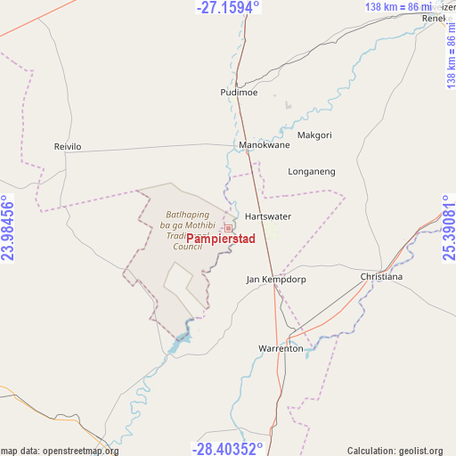
| Upper-left | -27.1594°, | 23.98456° |
| Center: | -27.78324°, | 24.68768° |
| Lower-right: | -28.40352°, | 25.39081° |
| Map W x H: | 138.3×138.3 km | = 85.9×85.9mi |
| max Lat: | -22.34881° ⇑39.8% North |
| Pampierstad: | -27.78324° |
| min Lat: | ⇓60.2% South -34.66739° |
| min Long | Pampierstad | max Long |
| 16.8697° | 24.68768° | 32.26762° |
| W 23.6%⇐ | ⇒76.4% E |
Elevation
Elevation of Pampierstad is 1078 m = 3537 ft, and this is 108.4 m = 356 ft above average elevation for this country.
| Max E: |
1873 m = 6145 ft | 52.8% |
| Pampierstad | 1078 m 3537 ft | |
| Avg. | 969.6 m = 3181 ft | |
Min E: |
7 m = 23 ft | 47.2% |
See also: South Africa elevation on elevation.city.
Geographical zone
Pampierstad is located in South temperate zone (between Tropic of Capricorn and the Antarctic Circle). Distance of this Southern Tropic circle is 483.3 km =300.3 mi to North.| Distance of | km | miles | from Pampierstad |
|---|---|---|---|
| Equator | 3089.2 | 1919.5 | to North |
| Tropic Capricorn | 483.3 | 300.3 | to North |
| Antarctic Circle | 4312 | 2679.4 | to South |
| South Pole | 6917.9 | 4298.6 | to South |


Nearby cities:
15 places around Pampierstad: (largest is in red/bold)
• Barkly West
85.2 km =52.9 mi,  191°
191°
• Bloemhof
91.8 km =57 mi,  80°
80°
• Boshof
100 km =62.1 mi,  147°
147°
• Christiana
48.8 km =30.3 mi,  107°
107°
• Daniëlskuil
121.4 km =75.4 mi,  248°
248°
• Hartswater
11.4 km =7.1 mi,  70°
70°
• Hoopstad
120.2 km =74.7 mi,  92°
92°
• Jan Kempdorp
20.9 km =13 mi,  137°
137°
• Kimberley
105.8 km =65.7 mi,  176°
176°
• Kuruman
129 km =80.2 mi,  286°
286°
• Ritchie
139.8 km =86.9 mi, 183°
• Schweizer-Reneke
91.5 km =56.9 mi,  43°
43°
• Taung
29.7 km =18.5 mi,  19°
19°
• Vryburg
92 km =57.2 mi,  2°
2°
• Warrenton
40 km =24.9 mi,  156°
156°
Sources, notices
• [Note1] Compared only with cities in South Africa existing in our database
• [Src1] Map data: © OpenStreetMap contributors (CC-BY-SA)
• [Src2] Other city data from geonames.org with taken over terms of usage.
• [Src3] Geographical zone / Annual Mean Temperature by Robert A. Rohde @ Wikipedia
