Plumtree geodata
Plumtree (Matabeleland South) is a populated place; located in Zimbabwe in Africa/Harare (GMT+2) time zone. With population of 2,148 people, there are 54 cities with bigger population in this country. Compared to other cities in Zimbabwe, 93.8% of cities are located further ↑North; 90.8% of cities are located further →East and 73.8% of cities have lower elevation than Plumtree. Note1


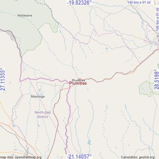
Plumtree GPS coordinates[2]
20° 28' 59.988" South, 27° 49' 0.012" East
| Map corner | latitude | longitude |
|---|---|---|
| Upper-left | -19.82326°, | 27.11355° |
| Center: | -20.48333°, | 27.81667° |
| Lower-right: | -21.14057°, | 28.5198° |
| Map W x H: | 146.5×146.5 km | = 91×91mi |
| max Lat: | -16.03333° ⇑93.8% North |
| Plumtree: | -20.48333° |
| min Lat: | ⇓6.2% South -22.21667° |
| min Long | Plumtree | max Long |
| 25.83066° | 27.81667° | 32.86667° |
| W 9.2%⇐ | ⇒90.8% E |
Elevation
Elevation of Plumtree is 1384 m = 4541 ft, and this is 186.3 m = 611 ft above average elevation for this country.
| Max E: |
1706 m = 5597 ft | 26.2% |
| Plumtree | 1384 m 4541 ft | |
| Avg. | 1197.7 m = 3929 ft | |
Min E: |
402 m = 1319 ft | 73.8% |
See also: Zimbabwe elevation on elevation.city.
Geographical zone
Plumtree is located in South Torrid zone (between Equator and Tropic of Capricorn). Distance of this Southern Tropic circle is 328.4 km =204.1 mi to South.| Distance of | km | miles | from Plumtree |
|---|---|---|---|
| Equator | 2277.5 | 1415.2 | to North |
| Tropic Capricorn | 328.4 | 204.1 | to South |
| Antarctic Circle | 5123.6 | 3183.7 | to South |
| South Pole | 7729.5 | 4802.9 | to South |


Nearby cities:
15 places around Plumtree: (largest is in red/bold)
• Bulawayo
88.1 km =54.7 mi,  65°
65°
• Dete
230.2 km =143 mi,  334°
334°
• Esigodini
117.3 km =72.9 mi,  79°
79°
• Filabusi
153 km =95.1 mi,  92°
92°
• Gwanda
133.6 km =83 mi,  112°
112°
• Gweru
238.5 km =148.2 mi,  61°
61°
• Insiza
164.1 km =102 mi, 61°
• Inyati
140.1 km =87.1 mi,  50°
50°
• Kamativi Mine
253.8 km =157.7 mi,  341°
341°
• Kwekwe
271.4 km =168.6 mi, 50°
• Lupane
172.6 km =107.2 mi,  359°
359°
• Redcliff
261.4 km =162.4 mi, 51°
• Shangani
179.6 km =111.6 mi, 64°
• Shurugwi
245.9 km =152.8 mi, 68°
• Zvishavane
235.1 km =146.1 mi, 85°
Sources, notices
• [Note1] Compared only with cities in Zimbabwe existing in our database
• [Src1] Map data: © OpenStreetMap contributors (CC-BY-SA)
• [Src2] Other city data from geonames.org with taken over terms of usage.
• [Src3] Geographical zone / Annual Mean Temperature by Robert A. Rohde @ Wikipedia
