Dehī geodata
Dehī (Samangan) is a seat of a second-order administrative division; located in Afghanistan in Asia/Kabul (GMT+4.5) time zone. In our database, there are 93 cities with bigger population. Compared to other cities in Afghanistan, 75.9% of cities are located further ↓South; 59.8% of cities are located further →East and 53.7% of cities have higher elevation than Dehī. Note1


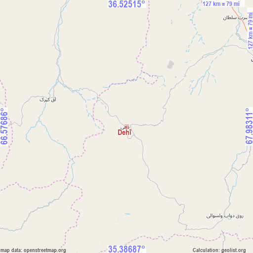
Dehī GPS coordinates[2]
35° 57' 29.016" North, 67° 16' 47.928" East
| Map corner | latitude | longitude |
|---|---|---|
| Upper-left | 36.52515°, | 66.57686° |
| Center: | 35.95806°, | 67.27998° |
| Lower-right: | 35.38687°, | 67.98311° |
| Map W x H: | 126.6×126.6 km | = 78.7×78.7mi |
| max Lat: | 38.4435° ⇑24.1% North |
| Dehī: | 35.95806° |
| min Lat: | ⇓75.9% South 30.15° |
| min Long | Dehī | max Long |
| 61.06667° | 67.27998° | 72.318° |
| W 40.2%⇐ | ⇒59.8% E |
Elevation
Elevation of Dehī is 1271 m = 4170 ft, and this is 147.4 m = 484 ft below average elevation for this country.
| Max E: |
3068 m = 10066 ft | 53.7% |
| Avg. | 1418.4 m = 4654 ft | |
| Dehī | 1271 m = 4170 ft | |
Min E: |
254 m = 833 ft | 46.3% |
See also: Afghanistan elevation on elevation.city.
Geographical zone
Dehī is located in North temperate zone (between Tropic of Cancer and the Arctic Circle). Distance of this Northern Tropic circle is 1392.2 km =865.1 mi to South.| Distance of | km | miles | from Dehī |
|---|---|---|---|
| North Pole | 6008.9 | 3733.8 | to North |
| Arctic Circle | 3403 | 2114.5 | to North |
| Tropic Cancer | 1392.2 | 865.1 | to South |
| Equator | 3998.2 | 2484.4 | to South |


Nearby cities:
15 places around Dehī: (largest is in red/bold)
• Aībak
74.3 km =46.2 mi,  62°
62°
• Balkh
95.1 km =59.1 mi,  338°
338°
• Chimtāl
90.7 km =56.4 mi,  331°
331°
• Dehdādī
82.5 km =51.3 mi, 341°
• Dūāb
65.7 km =40.8 mi,  131°
131°
• Khudāydād Khēl
94.2 km =58.5 mi,  156°
156°
• Khulm
90.3 km =56.1 mi,  24°
24°
• Lab-Sar
40.5 km =25.2 mi,  280°
280°
• Langar
69.5 km =43.2 mi,  86°
86°
• Larkird
76.2 km =47.3 mi,  226°
226°
• Mazār-e Sharīf
84.9 km =52.8 mi,  349°
349°
• Rū-ye Sang
77.8 km =48.3 mi, 155°
• Sang-e Chārak
76.9 km =47.8 mi,  260°
260°
• Tukzār
77.3 km =48 mi,  269°
269°
• Āq Kupruk
41.9 km =26 mi,  289°
289°
Sources, notices
• [Note1] Compared only with cities in Afghanistan existing in our database
• [Src1] Map data: © OpenStreetMap contributors (CC-BY-SA)
• [Src2] Other city data from geonames.org with taken over terms of usage.
• [Src3] Geographical zone / Annual Mean Temperature by Robert A. Rohde @ Wikipedia
