Vinchina geodata
Vinchina (La Rioja) is a seat of a second-order administrative division; located in Argentina in America/Argentina/La_Rioja (GMT-3) time zone. With population of 2,834 people, there are 565 cities with bigger population in this country. Compared to other cities in Argentina, 70.1% of cities are located further ↓South; 90.3% of cities are located further →East and 96.8% of cities have lower elevation than Vinchina. Note1


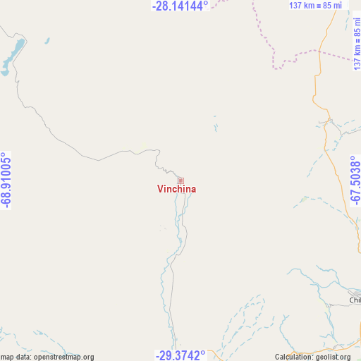
Vinchina GPS coordinates[2]
28° 45' 34.704" South, 68° 12' 24.912" West
| Map corner | latitude | longitude |
|---|---|---|
| Upper-left | -28.14144°, | -68.91005° |
| Center: | -28.75964°, | -68.20692° |
| Lower-right: | -29.3742°, | -67.5038° |
| Map W x H: | 137.1×137.1 km | = 85.2×85.2mi |
| max Lat: | -21.94467° ⇑29.9% North |
| Vinchina: | -28.75964° |
| min Lat: | ⇓70.1% South -54.81084° |
| min Long | Vinchina | max Long |
| -72.88605° | -68.20692° | -53.64581° |
| W 9.7%⇐ | ⇒90.3% E |
Elevation
Elevation of Vinchina is 1460 m = 4790 ft, and this is 1110.7 m = 3644 ft above average elevation for this country.
| Max E: |
4040 m = 13255 ft | 3.2% |
| Vinchina | 1460 m 4790 ft | |
| Avg. | 349.3 m = 1146 ft | |
Min E: |
-2 m = -7 ft | 96.8% |
See also: Argentina elevation on elevation.city.
Geographical zone
Vinchina is located in South temperate zone (between Tropic of Capricorn and the Antarctic Circle). Distance of this Southern Tropic circle is 591.9 km =367.8 mi to North.| Distance of | km | miles | from Vinchina |
|---|---|---|---|
| Equator | 3197.8 | 1987 | to North |
| Tropic Capricorn | 591.9 | 367.8 | to North |
| Antarctic Circle | 4203.4 | 2611.9 | to South |
| South Pole | 6809.3 | 4231.1 | to South |


Nearby cities:
15 places around Vinchina: (largest is in red/bold)
• Aimogasta
138.5 km =86.1 mi,  80°
80°
• Aminga
124.8 km =77.5 mi,  94°
94°
• Arauco
139.4 km =86.6 mi, 81°
• Belén
168.9 km =104.9 mi,  43°
43°
• Chilecito
82.3 km =51.1 mi,  122°
122°
• Famatina
69.3 km =43.1 mi,  105°
105°
• Fiambalá
133.9 km =83.2 mi,  25°
25°
• La Rioja
150.4 km =93.5 mi, 118°
• Londres
156.7 km =97.4 mi, 42°
• San Blas de los Sauces
115.4 km =71.7 mi,  70°
70°
• Sañogasta
112.5 km =69.9 mi, 109°
• Tinogasta
99.7 km =62 mi, 39°
• Villa Bustos
129.4 km =80.4 mi, 116°
• Villa Castelli
28.4 km =17.6 mi,  183°
183°
• Villa Unión
61.9 km =38.5 mi, 181°
Sources, notices
• [Note1] Compared only with cities in Argentina existing in our database
• [Src1] Map data: © OpenStreetMap contributors (CC-BY-SA)
• [Src2] Other city data from geonames.org with taken over terms of usage.
• [Src3] Geographical zone / Annual Mean Temperature by Robert A. Rohde @ Wikipedia
