Guyra geodata
Guyra (New South Wales) is a populated place; located in Australia in Australia/Sydney (GMT+11) time zone. With population of 1,989 people, there are 2911 cities with bigger population in this country. Compared to other cities in Australia, 72% of cities are located further ↓South; 80% of cities are located further ←West and 99.9% of cities have lower elevation than Guyra. Note1


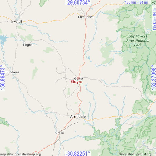
Guyra GPS coordinates[2]
30° 13' 0.48" South, 151° 40' 4.26" East
| Map corner | latitude | longitude |
|---|---|---|
| Upper-left | -29.60734°, | 150.96473° |
| Center: | -30.2168°, | 151.66785° |
| Lower-right: | -30.82251°, | 152.37098° |
| Map W x H: | 135.1×135.1 km | = 83.9×83.9mi |
| max Lat: | -10.58257° ⇑28% North |
| Guyra: | -30.2168° |
| min Lat: | ⇓72% South -43.31423° |
| min Long | Guyra | max Long |
| 113.53327° | 151.66785° | 153.61246° |
| W 80%⇐ | ⇒20% E |
Elevation
Elevation of Guyra is 1326 m = 4350 ft, and this is 1204 m = 3950 ft above average elevation for this country.
| Max E: |
1715 m = 5627 ft | 0.099999999999994% |
| Guyra | 1326 m 4350 ft | |
| Avg. | 122 m = 400 ft | |
Min E: |
-2 m = -7 ft | 99.9% |
See also: Australia elevation on elevation.city.
Geographical zone
Guyra is located in South temperate zone (between Tropic of Capricorn and the Antarctic Circle). Distance of this Southern Tropic circle is 753.9 km =468.5 mi to North.| Distance of | km | miles | from Guyra |
|---|---|---|---|
| Equator | 3359.8 | 2087.7 | to North |
| Tropic Capricorn | 753.9 | 468.5 | to North |
| Antarctic Circle | 4041.4 | 2511.2 | to South |
| South Pole | 6647.3 | 4130.4 | to South |


Nearby cities:
15 places around Guyra: (largest is in red/bold)
• Armidale
31.6 km =19.6 mi,  180°
180°
• Barraba
103.4 km =64.2 mi,  259°
259°
• Bundarra
57.1 km =35.5 mi,  274°
274°
• Delungra
102.1 km =63.4 mi,  307°
307°
• Dorrigo
101.4 km =63 mi,  97°
97°
• Emmaville
86.2 km =53.6 mi,  355°
355°
• Gilgai
66.6 km =41.4 mi, 307°
• Glen Innes
54 km =33.6 mi,  7°
7°
• Inverell
72.7 km =45.2 mi, 312°
• Invergowrie
36.3 km =22.6 mi,  205°
205°
• Mitchell
73.4 km =45.6 mi,  36°
36°
• Moonbi
105.8 km =65.7 mi, 212°
• Tingha
52.5 km =32.6 mi,  303°
303°
• Uralla
49.8 km =30.9 mi,  198°
198°
• Walcha
85.7 km =53.3 mi, 184°
Sources, notices
• [Note1] Compared only with cities in Australia existing in our database
• [Src1] Map data: © OpenStreetMap contributors (CC-BY-SA)
• [Src2] Other city data from geonames.org with taken over terms of usage.
• [Src3] Geographical zone / Annual Mean Temperature by Robert A. Rohde @ Wikipedia
