Sindou geodata
Sindou (Cascades) is a seat of a second-order administrative division; located in Burkina Faso in Africa/Ouagadougou (GMT+0) time zone. With population of 3,917 people, there are 44 cities with bigger population in this country. Compared to other cities in Burkina Faso, 97.5% of cities are located further ↑North; 100% of cities are located further →East and 98.7% of cities have lower elevation than Sindou. Note1


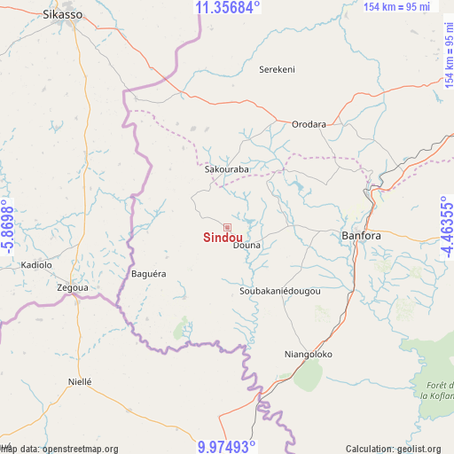
Sindou GPS coordinates[2]
10° 40' 0.012" North, 5° 10' 0.012" West
| Map corner | latitude | longitude |
|---|---|---|
| Upper-left | 11.35684°, | -5.8698° |
| Center: | 10.66667°, | -5.16667° |
| Lower-right: | 9.97493°, | -4.46355° |
| Map W x H: | 153.7×153.7 km | = 95.5×95.5mi |
| max Lat: | 14.96549° ⇑97.5% North |
| Sindou: | 10.66667° |
| min Lat: | ⇓2.5% South 9.88333° |
| min Long | Sindou | max Long |
| -5.16667° | -5.16667° | 1.78838° |
| W 0%⇐ | ⇒100% E |
Elevation
Elevation of Sindou is 370 m = 1214 ft, and this is 67 m = 220 ft above average elevation for this country.
| Max E: |
423 m = 1388 ft | 1.3% |
| Sindou | 370 m 1214 ft | |
| Avg. | 303 m = 994 ft | |
Min E: |
222 m = 728 ft | 98.7% |
See also: Burkina Faso elevation on elevation.city.
Geographical zone
Sindou is located in North Torrid zone (between Equator and Tropic of Cancer). Distance of Equator is 1186 km =736.9 mi to South.| Distance of | km | miles | from Sindou |
|---|---|---|---|
| North Pole | 8821 | 5481.1 | to North |
| Arctic Circle | 6215.2 | 3861.9 | to North |
| Tropic Cancer | 1419.9 | 882.3 | to North |
| Equator | 1186 | 736.9 | to South |


Nearby cities:
15 places around Sindou: (largest is in red/bold)
• Banfora
43.9 km =27.3 mi,  94°
94°
• Barani
311 km =193.2 mi,  26°
26°
• Batié
261.1 km =162.2 mi,  109°
109°
• Bobo-Dioulasso
110.5 km =68.7 mi,  59°
59°
• Boromo
271.8 km =168.9 mi, 63°
• Dano
236.3 km =146.8 mi,  76°
76°
• Diébougou
211.9 km =131.7 mi, 81°
• Dédougou
272.8 km =169.5 mi,  42°
42°
• Gousi
340 km =211.3 mi,  49°
49°
• Houndé
202.5 km =125.8 mi, 62°
• Léo
337.6 km =209.8 mi, 81°
• Nouna
269.7 km =167.6 mi, 31°
• Salanso
204.9 km =127.3 mi, 35°
• Sièn
334.2 km =207.7 mi, 47°
• Toma
339.2 km =210.8 mi, 46°
Sources, notices
• [Note1] Compared only with cities in Burkina Faso existing in our database
• [Src1] Map data: © OpenStreetMap contributors (CC-BY-SA)
• [Src2] Other city data from geonames.org with taken over terms of usage.
• [Src3] Geographical zone / Annual Mean Temperature by Robert A. Rohde @ Wikipedia
