Oursi geodata
Oursi (Sahel) is a seat of a third-order administrative division; located in Burkina Faso in Africa/Ouagadougou (GMT+0) time zone. In our database, there are 49 cities with bigger population. Compared to other cities in Burkina Faso, 98.7% of cities are located further ↓South; 81% of cities are located further ←West and 63.3% of cities have higher elevation than Oursi. Note1


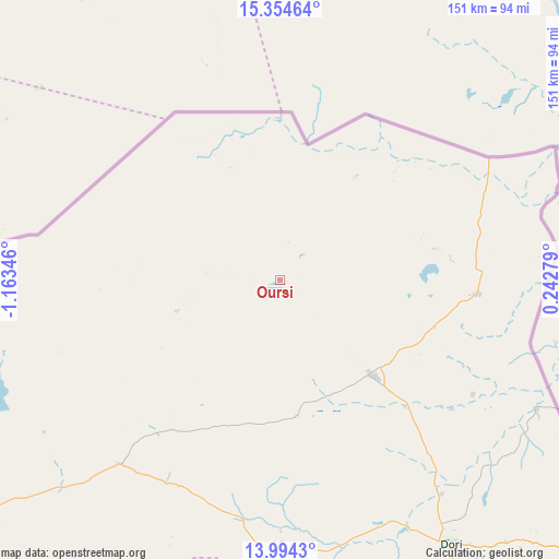
Oursi GPS coordinates[2]
14° 40' 31.908" North, 0° 27' 37.188" West
| Map corner | latitude | longitude |
|---|---|---|
| Upper-left | 15.35464°, | -1.16346° |
| Center: | 14.67553°, | -0.46033° |
| Lower-right: | 13.9943°, | 0.24279° |
| Map W x H: | 151.3×151.3 km | = 94×94mi |
| max Lat: | 14.96549° ⇑1.3% North |
| Oursi: | 14.67553° |
| min Lat: | ⇓98.7% South 9.88333° |
| min Long | Oursi | max Long |
| -5.16667° | -0.46033° | 1.78838° |
| W 81%⇐ | ⇒19% E |
Elevation
Elevation of Oursi is 298 m = 978 ft, and this is 5 m = 16 ft below average elevation for this country.
| Max E: |
423 m = 1388 ft | 63.3% |
| Avg. | 303 m = 994 ft | |
| Oursi | 298 m = 978 ft | |
Min E: |
222 m = 728 ft | 36.7% |
See also: Burkina Faso elevation on elevation.city.
Geographical zone
Oursi is located in North Torrid zone (between Equator and Tropic of Cancer). Distance of this Northern Tropic circle is 974.2 km =605.3 mi to North.| Distance of | km | miles | from Oursi |
|---|---|---|---|
| North Pole | 8375.3 | 5204.2 | to North |
| Arctic Circle | 5769.4 | 3584.9 | to North |
| Tropic Cancer | 974.2 | 605.3 | to North |
| Equator | 1631.8 | 1014 | to South |


Nearby cities:
15 places around Oursi: (largest is in red/bold)
• Bogandé
192.5 km =119.6 mi,  169°
169°
• Boundoré
201.5 km =125.2 mi,  132°
132°
• Boussouma
207.4 km =128.9 mi,  198°
198°
• Djibo
140.9 km =87.6 mi,  242°
242°
• Dori
84.7 km =52.6 mi,  147°
147°
• Déou
29 km =18 mi,  253°
253°
• Gorom-Gorom
35.5 km =22.1 mi,  136°
136°
• Kaya
188.6 km =117.2 mi, 200°
• Kongoussi
189.6 km =117.8 mi,  217°
217°
• Korsimoro
215.9 km =134.2 mi, 197°
• Mani
159.8 km =99.3 mi, 170°
• Mané
210.5 km =130.8 mi,  206°
206°
• Sebba
174.4 km =108.4 mi, 142°
• Tin-Akoff
45.4 km =28.2 mi,  44°
44°
• Titao
200.5 km =124.6 mi, 239°
Sources, notices
• [Note1] Compared only with cities in Burkina Faso existing in our database
• [Src1] Map data: © OpenStreetMap contributors (CC-BY-SA)
• [Src2] Other city data from geonames.org with taken over terms of usage.
• [Src3] Geographical zone / Annual Mean Temperature by Robert A. Rohde @ Wikipedia
